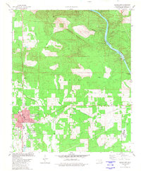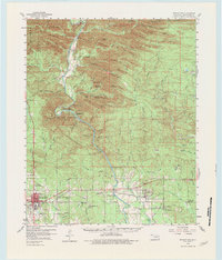
1959 Map of Broken Bow
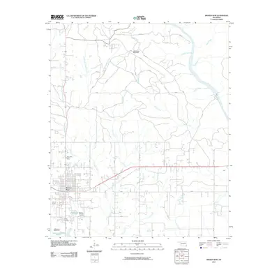
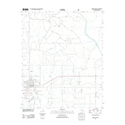
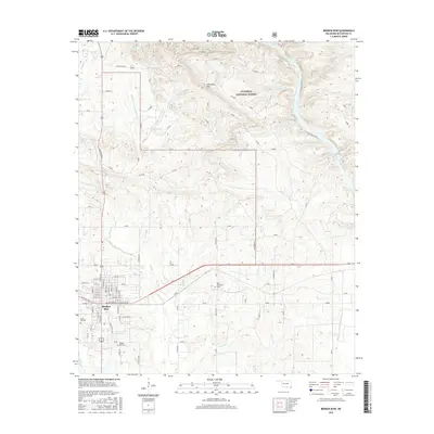
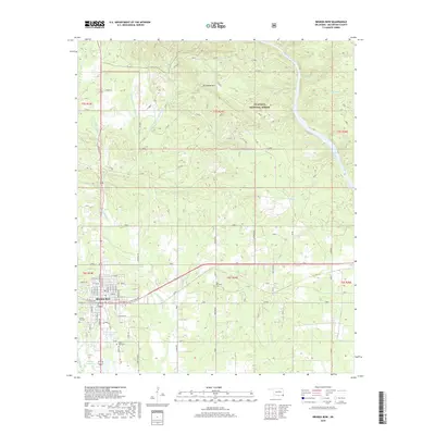
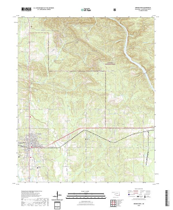
USGS Topo · Published 1983About this map
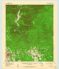
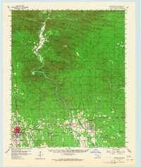
Mountain Fork carves a winding path through this southeastern Oklahoma landscape, defining the topography of McCurtain County before the widespread inundation of modern reservoirs. The town of Broken Bow serves as the primary hub, situated near the Sulphur River and surrounded by numerous country churches such as St Matthew Ch and Oak Grove Ch. The map provides a detailed view of the terrain at the end of the 1950s, showing the complex ridges of Hochatown Mtn and Candy Mountain prior to significant landscape alterations. Significant landmarks include the Beavers Bend State Park along the river's sharp bends, and several rural prairies like Winship Prairie and Racetrack Prairie. This era was marked by a balance of timber-related mountain features and established riverside communities like Eagletown and Williams.
Find a feature on this map
99 named features on this map. Tap any name to fly to it.
Don’t see what you’re looking for? This feature index may not catch every label — zoom into the map to look around manually.
Map Details
Editions of this 1959 Broken Bow Map
3 editions found
Historical Maps of Broken Bow Through Time
7 maps found