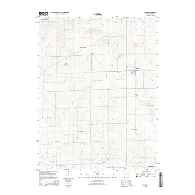
2015 Map of Bogard
USGS Topo · Published 2015About this map
The agricultural landscape of Carroll County is defined by the winding paths of McGill Cr and McCroskie Cr as they flow south toward Carrollton. This interior Missouri survey highlights the small rail-oriented community of Bogard, where a grid of local streets like N Main St and S Culbertson St centers on the corridor between Mound Lake and Little Wakenda Cr. The surrounding countryside is dotted with family and community burial grounds, including Ebenezer Cemetery and Smith Cemetery, reflecting the long-established settlement patterns of this farming region.
Find a feature on this map
114 named features on this map. Tap any name to fly to it.
Don’t see what you’re looking for? This feature index may not catch every label — zoom into the map to look around manually.
Map Details
Editions of this 2015 Bogard Map
This is the sole edition of this map. No revisions or reprints were ever made.
Other maps of this area

1889 · Lexington
USGS Topo · 1:125,000

1890 · Marshall
USGS Topo · 1:125,000

1892 · Marshall
USGS Topo · 1:125,000

1901 · Marshall
USGS Topo · 1:125,000

1924 · Dawn
USGS Topo · 1:62,500

1924 · Hale
USGS Topo · 1:62,500

1950 · Coloma
USGS Topo · 1:24,000

1950 · Plymouth
USGS Topo · 1:24,000

1951 · Utica
USGS Topo · 1:62,500

1951 · Carrollton East
USGS Topo · 1:24,000