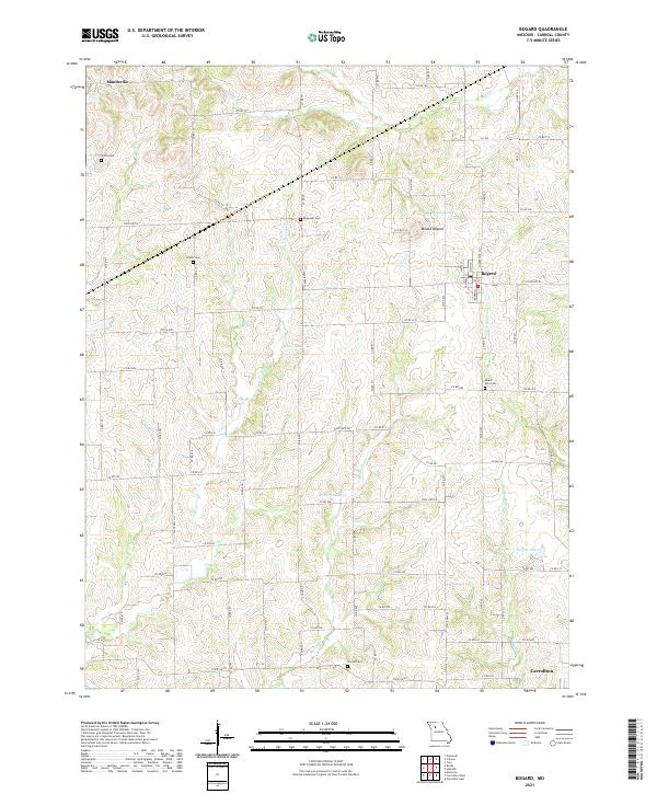
2021 Map of Bogard
USGS Topo · Published 2021About this map
Bogard serves as a central hub in this section of Carroll County, where the street grid of White St and Main St meets the rural path of State Hwy W. The landscape is defined by the winding course of Little Wakenda Cr and the prominent rise of Mound Bogard. For genealogists and local historians, the map is a dense record of family land and community anchors, featuring numerous small burial grounds including Smith Cem, Streets Cem, Ebenezer Cem, and Trotter Cem. To the north, the small settlement of Mandeville sits near the upper reaches of Big Cr, while the southern edge of the sheet reaches the outskirts of Carrollton. The area’s water resources are well-documented, from the recreational waters of Bogard Lake and Anderson Lake to the drainage of McCroskie Cr and Plum Br.
Find a feature on this map
83 named features on this map. Tap any name to fly to it.
Don’t see what you’re looking for? This feature index may not catch every label — zoom into the map to look around manually.
Map Details
Editions of this 2021 Bogard Map
This is the sole edition of this map. No revisions or reprints were ever made.
Other maps of this area

1889 · Lexington
USGS Topo · 1:125,000

1890 · Marshall
USGS Topo · 1:125,000

1892 · Marshall
USGS Topo · 1:125,000

1901 · Marshall
USGS Topo · 1:125,000

1924 · Dawn
USGS Topo · 1:62,500

1924 · Hale
USGS Topo · 1:62,500

1950 · Coloma
USGS Topo · 1:24,000

1950 · Plymouth
USGS Topo · 1:24,000

1951 · Utica
USGS Topo · 1:62,500

1951 · Carrollton East
USGS Topo · 1:24,000