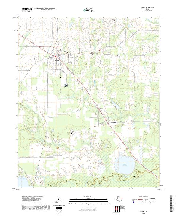
2022 Map of Bogata
USGS Topo · Published 2022About this map
The town of Bogata serves as the focal point of this Red River County survey, showing the street grid where Clarksville Rd and Paris Rd converge. This area of Northeast Texas is defined by its deep-seated local history and proximity to the Sulphur River, which forms the southern boundary against Franklin County. Genealogists will find a high density of burial sites across the landscape, including the Bogata Cem, the Bogata Free Hope Cem to the south, and the Cooper - Wood Cem further into the countryside.
Find a feature on this map
82 named features on this map. Tap any name to fly to it.
Don’t see what you’re looking for? This feature index may not catch every label — zoom into the map to look around manually.
Map Details
Editions of this 2022 Bogata Map
This is the sole edition of this map. No revisions or reprints were ever made.
Other maps of this area

1953 · Texarkana
USGS Topo · 1:250,000

1956 · Texarkana
USGS Topo · 1:250,000

1963 · Mitchell Creek
USGS Topo · 1:24,000

1963 · Cunningham
USGS Topo · 1:24,000

1964 · Deport
USGS Topo · 1:24,000

1964 · Cuthand
USGS Topo · 1:24,000

1964 · Talco
USGS Topo · 1:24,000

1964 · Hagansport
USGS Topo · 1:24,000

1964 · Bogata
USGS Topo · 1:24,000
1964 · Line Branch
USGS Topo · 1:24,000