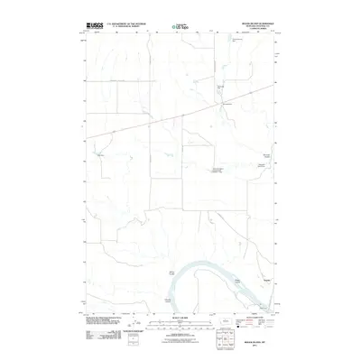
2011 Map of Boggs Island
USGS Topo · Published 2011About this map
The Missouri River carves a sweeping path through this Chouteau County landscape, defining the character of the southern terrain. This 2011 survey highlights the seasonal water management critical to Montana ranching, evidenced by numerous small-scale water projects including Dyan Dam, Dtonysia Dam, and the Halverson Ranch Incorporated Number 1 Dam. These features, along with names like Tryannosaurus Dam and Diomedes Dam, suggest a localized system of reservoirs and cattle tanks designed to capture runoff from various draws and coulees.
Find a feature on this map
19 named features on this map. Tap any name to fly to it.
Don’t see what you’re looking for? This feature index may not catch every label — zoom into the map to look around manually.
Map Details
Editions of this 2011 Boggs Island Map
This is the sole edition of this map. No revisions or reprints were ever made.
Other maps of this area

1890 · Fort Benton
USGS Topo · 1:250,000

1892 · Fort Benton
USGS Topo · 1:250,000

1897 · Fort Benton
USGS Topo · 1:250,000

1906 · Lonesome
USGS Topo · 1:62,500

1919 · Big Sandy
USGS Topo · 1:125,000

1953 · Boggs Island
USGS Topo · 1:24,000

1953 · Loma East
USGS Topo · 1:24,000

1953 · Verona
USGS Topo · 1:24,000

1953 · Big Bend School
USGS Topo · 1:24,000

1953 · Stranahan
USGS Topo · 1:24,000