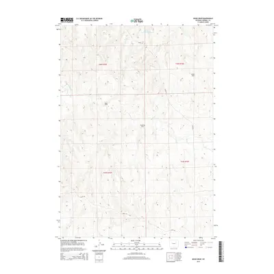
2015 Map of Bogie Draw
USGS Topo · Published 2015About this map
Bogie Draw and its complex system of drainages define this portion of Campbell County, where the high plains landscape is marked by the careful management of water. This 2015 survey illustrates how ranching and land use in this corner of Wyoming rely on features like Bogie Reservoir and Dead Horse Reservoir Number 2 to sustain activity in an arid environment. The map shows a network of named topographical features, including Kaufman Draw and Bridge Draw, alongside the drainage of Beaver Cr. Human presence is traced through long-standing local thoroughfares such as Napier Rd and Iberlin Rd, which provide access through the grid of the Public Land Survey System, specifically within the townships of T47N and T48N. The scarcity of dense settlement highlights the vast, open-range character of the region during the early 21st century.
Find a feature on this map
12 named features on this map. Tap any name to fly to it.
Don’t see what you’re looking for? This feature index may not catch every label — zoom into the map to look around manually.
Map Details
Editions of this 2015 Bogie Draw Map
This is the sole edition of this map. No revisions or reprints were ever made.
Other maps of this area

1953 · Fats Draw
USGS Topo · 1:24,000

1953 · The Nipple
USGS Topo · 1:24,000

1954 · Gillette
USGS Topo · 1:250,000

1955 · Newcastle
USGS Topo · 1:250,000

1955 · Sheridan
USGS Topo · 1:250,000

1955 · Arminto
USGS Topo · 1:250,000

1955 · Gillette
USGS Topo · 1:250,000

1958 · Gillette
USGS Topo · 1:250,000

1958 · Sheridan
USGS Topo · 1:250,000

1958 · Arminto
USGS Topo · 1:250,000