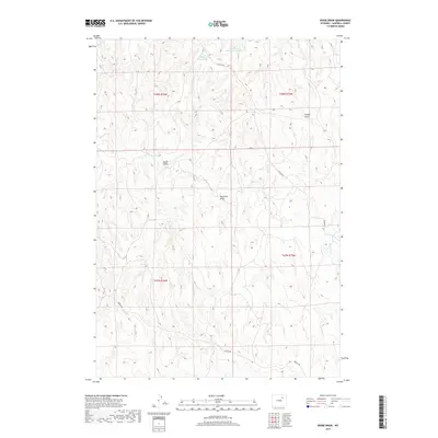
2017 Map of Bogie Draw
USGS Topo · Published 2017About this map
Bogie Draw and its complex system of drainage basins define the high plains landscape of Campbell County in this 2017 survey. The area is characterized by intermittent water sources and the essential management of surface water, evidenced by features such as Dead Horse Reservoir Number 2 and Bogie Reservoir. These man-made structures emphasize the importance of water storage for ranching and land use in this arid region. The map captures the remote nature of northeastern Wyoming, where named landmarks often follow the natural contours of the land, including Bridge Draw and Kaufman Draw. Transportation across the vast terrain is facilitated by primary rural routes like Napier Rd and Iberlin Rd, which connect the disparate sections of the township grid.
Find a feature on this map
12 named features on this map. Tap any name to fly to it.
Don’t see what you’re looking for? This feature index may not catch every label — zoom into the map to look around manually.
Map Details
Editions of this 2017 Bogie Draw Map
This is the sole edition of this map. No revisions or reprints were ever made.
Other maps of this area

1953 · Fats Draw
USGS Topo · 1:24,000

1953 · The Nipple
USGS Topo · 1:24,000

1954 · Gillette
USGS Topo · 1:250,000

1955 · Newcastle
USGS Topo · 1:250,000

1955 · Sheridan
USGS Topo · 1:250,000

1955 · Arminto
USGS Topo · 1:250,000

1955 · Gillette
USGS Topo · 1:250,000

1958 · Gillette
USGS Topo · 1:250,000

1958 · Sheridan
USGS Topo · 1:250,000

1958 · Arminto
USGS Topo · 1:250,000