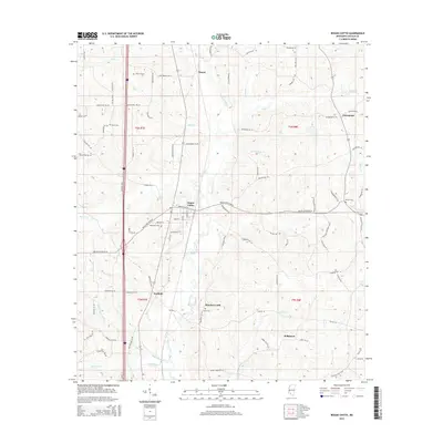
2015 Map of Bogue Chitto
USGS Topo · Published 2015About this map
The settlement of Bogue Chitto serves as a central hub in this section of Lincoln County, defined by a network of rural roads and the primary watercourse that shares its name. The Bogue Chitto river meanders south through the landscape, joined by numerous tributaries including Gills Cr, Boone Cr, and Myers Cr. This area reflects a long-established pattern of small communities and family landholdings, evidenced by the distribution of several local burial sites such as Stewarts Cem, Rawls Cem, and Price Cem.
Find a feature on this map
88 named features on this map. Tap any name to fly to it.
Don’t see what you’re looking for? This feature index may not catch every label — zoom into the map to look around manually.
Map Details
Editions of this 2015 Bogue Chitto Map
This is the sole edition of this map. No revisions or reprints were ever made.
Other maps of this area

1953 · Natchez
USGS Topo · 1:250,000

1956 · Natchez
USGS Topo · 1:250,000

1959 · Natchez
USGS Topo · 1:250,000

1972 · West Lincoln
USGS Topo · 1:24,000

1972 · Fair Oak Springs
USGS Topo · 1:24,000

1972 · Auburn
USGS Topo · 1:24,000

1972 · Ruth
USGS Topo · 1:24,000

1972 · Pricedale
USGS Topo · 1:24,000

1972 · Bogue Chitto
USGS Topo · 1:24,000

1972 · Brookhaven
USGS Topo · 1:24,000