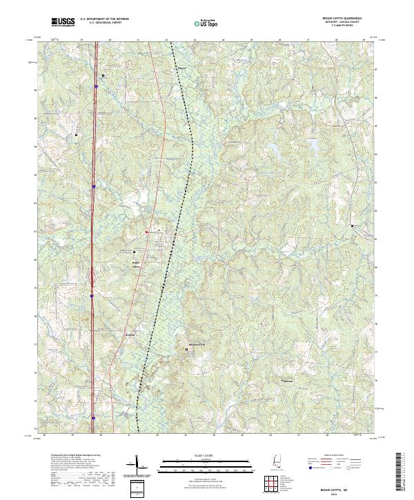
2024 Map of Bogue Chitto
USGS Topo · Published 2024About this map
Bogue Chitto and its surrounding Lincoln County landscape are defined by the winding course of the Bogue Chitto waterway and a dense network of country roads. Small settlements like Norfield, Thayer, and Wilkinson are clustered along the north-south transportation corridors, while the surrounding hills are dotted with family burial grounds that offer deep genealogical value. These include the Robert and James Price Family Cem and the New Zion Union Norfield Cem.
Find a feature on this map
96 named features on this map. Tap any name to fly to it.
Don’t see what you’re looking for? This feature index may not catch every label — zoom into the map to look around manually.
Map Details
Editions of this 2024 Bogue Chitto Map
This is the sole edition of this map. No revisions or reprints were ever made.
Other maps of this area

1953 · Natchez
USGS Topo · 1:250,000

1956 · Natchez
USGS Topo · 1:250,000

1959 · Natchez
USGS Topo · 1:250,000

1972 · West Lincoln
USGS Topo · 1:24,000

1972 · Fair Oak Springs
USGS Topo · 1:24,000

1972 · Auburn
USGS Topo · 1:24,000

1972 · Ruth
USGS Topo · 1:24,000

1972 · Pricedale
USGS Topo · 1:24,000

1972 · Bogue Chitto
USGS Topo · 1:24,000

1972 · Brookhaven
USGS Topo · 1:24,000