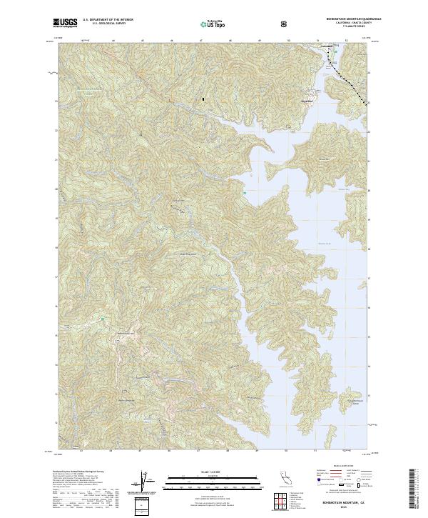
2023 Map of Bohemotash Mountain
USGS Topo · Published 2023About this map
Shasta National Forest encompasses this landscape where the high peaks of the Klamath Mountains meet the northern reaches of Shasta Lake. The terrain is defined by a series of steep drainages including North Fork Backbone Creek and Little Sugarloaf Creek, which feed into the intricate shoreline of Elmore Bay. The community of Lakehead sits near the northeastern corner, serving as a primary point of human settlement amidst the dense network of gulches and ridges. Significant elevations such as Bohemotash Mtn and Mammoth Butte dominate the interior, while Slaughterhouse Island stands as a prominent feature within the reservoir's waters. The map details a complex system of canyon topography, from Box Canyon in the west to the deep cuts of Dark Canyon in the southeast, illustrating how the inundation of the Pit and Sacramento River arms has reshaped the local geography.
Find a feature on this map
43 named features on this map. Tap any name to fly to it.
Don’t see what you’re looking for? This feature index may not catch every label — zoom into the map to look around manually.
Map Details
Editions of this 2023 Bohemotash Mountain Map
This is the sole edition of this map. No revisions or reprints were ever made.
Other maps of this area

1890 · Red Bluff
USGS Topo · 1:250,000

1894 · Red Bluff
USGS Topo · 1:250,000

1901 · Redding
USGS Topo · 1:125,000

1913 · Weaverville
USGS Topo · 1:125,000

1944 · Redding
USGS Topo · 1:62,500

1944 · French Gulch
USGS Topo · 1:62,500

1946 · Lamoine
USGS Topo · 1:62,500

1946 · Redding
USGS Topo · 1:62,500

1948 · French Gulch
USGS Topo · 1:62,500

1950 · Schell Mtn
USGS Topo · 1:62,500