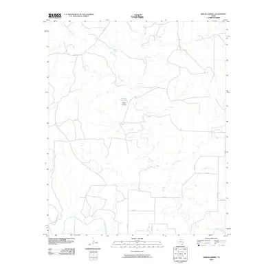
2010 Map of Boiling Spring
USGS Topo · Published 2010About this map
Good Creek dominates the hydrology of this Foard County landscape, winding its way southward toward a confluence with the North Wichita River. This 2010 survey highlights a sparsely populated cattle-ranching and agricultural region defined by intermittent water sources and a network of county roads. A primary landmark in the center of the sheet is Geneva Potts Lake, which was created by the construction of the Geneva Potts Lake Dam to manage local water resources in an otherwise arid environment. The naming of the eponymous Boiling Spring along the upper reaches of Good Creek suggests a long history of water importance for early settlers and livestock. The area's geography is further divided by several tributaries, including Blue Hole Creek and Little Good Creek, while access is maintained through routes like FM 654 and family-named thoroughfares such as Mc Adams Rd.
Find a feature on this map
17 named features on this map. Tap any name to fly to it.
Don’t see what you’re looking for? This feature index may not catch every label — zoom into the map to look around manually.
Map Details
Editions of this 2010 Boiling Spring Map
This is the sole edition of this map. No revisions or reprints were ever made.
Other maps of this area

1932 · Vivian
USGS Topo · 1:62,500

1954 · Lubbock
USGS Topo · 1:250,000

1954 · Plainview
USGS Topo · 1:250,000

1954 · Wichita Falls
USGS Topo · 1:250,000

1955 · Lawton
USGS Topo · 1:250,000

1958 · Wichita Falls
USGS Topo · 1:250,000

1958 · Plainview
USGS Topo · 1:250,000

1960 · Teacup Mountain
USGS Topo · 1:62,500

1966 · Truscott North
USGS Topo · 1:24,000

1966 · Big Four Ranch
USGS Topo · 1:24,000