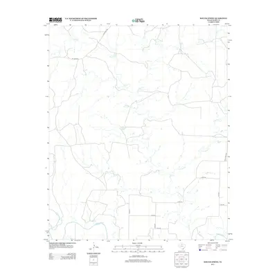
2013 Map of Boiling Spring
USGS Topo · Published 2013About this map
Boiling Spring serves as the focal point of this arid North Texas landscape, where the hydrography of Foard County is defined by the branching tributaries of the N Wichita River. The map reveals a complex network of seasonal and perennial watercourses, including the extensive reaches of Good Cr and the winding path of Little Good Cr. Man-made landmarks like Geneva Potts Lake highlight the intersection of ranching needs and the natural watershed.
Find a feature on this map
16 named features on this map. Tap any name to fly to it.
Don’t see what you’re looking for? This feature index may not catch every label — zoom into the map to look around manually.
Map Details
Editions of this 2013 Boiling Spring Map
This is the sole edition of this map. No revisions or reprints were ever made.
Other maps of this area

1932 · Vivian
USGS Topo · 1:62,500

1954 · Lubbock
USGS Topo · 1:250,000

1954 · Plainview
USGS Topo · 1:250,000

1954 · Wichita Falls
USGS Topo · 1:250,000

1955 · Lawton
USGS Topo · 1:250,000

1958 · Wichita Falls
USGS Topo · 1:250,000

1958 · Plainview
USGS Topo · 1:250,000

1960 · Teacup Mountain
USGS Topo · 1:62,500

1966 · Truscott North
USGS Topo · 1:24,000

1966 · Big Four Ranch
USGS Topo · 1:24,000