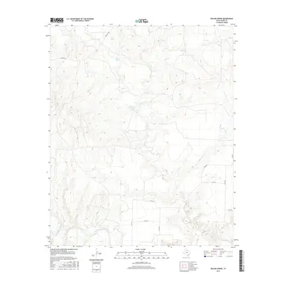
2016 Map of Boiling Spring
USGS Topo · Published 2016About this map
The North Wichita River defines the southern boundary of this Foard County landscape, winding through a region characterized by intermittent drainages and ranch roads. The namesake Boiling Spring and Boiling Springs appear in the northern reaches, feeding into Good Cr, while Geneva Potts Lake serves as a localized water source in the central terrain. This survey reflects a sparsely populated area where the infrastructure is largely defined by a grid of county roads, such as Co RD 370 and Co RD 374, and state-maintained routes like FM 2003. These corridors connect remote ranching interests across a landscape carved by Little Good Cr and Blue Hole Cr.
Find a feature on this map
17 named features on this map. Tap any name to fly to it.
Don’t see what you’re looking for? This feature index may not catch every label — zoom into the map to look around manually.
Map Details
Editions of this 2016 Boiling Spring Map
This is the sole edition of this map. No revisions or reprints were ever made.
Other maps of this area

1932 · Vivian
USGS Topo · 1:62,500

1954 · Lubbock
USGS Topo · 1:250,000

1954 · Plainview
USGS Topo · 1:250,000

1954 · Wichita Falls
USGS Topo · 1:250,000

1955 · Lawton
USGS Topo · 1:250,000

1958 · Wichita Falls
USGS Topo · 1:250,000

1958 · Plainview
USGS Topo · 1:250,000

1960 · Teacup Mountain
USGS Topo · 1:62,500

1966 · Truscott North
USGS Topo · 1:24,000

1966 · Big Four Ranch
USGS Topo · 1:24,000