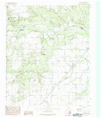
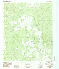
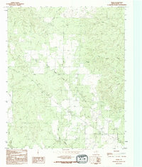
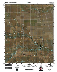
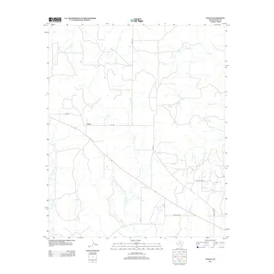
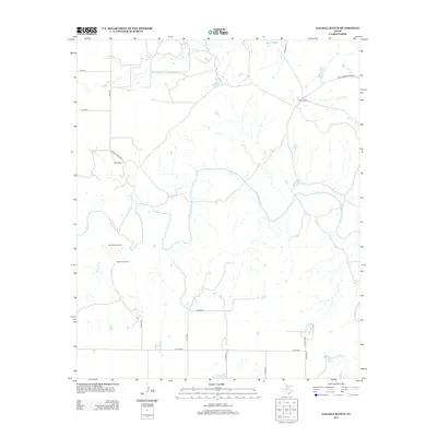
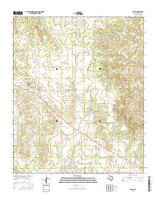
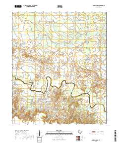
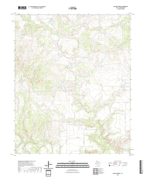
1968 Map of Boiling Spring
USGS Topo · Published 1981About this map
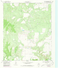
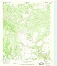
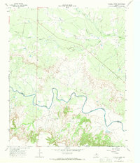
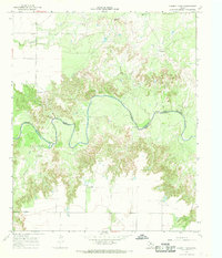
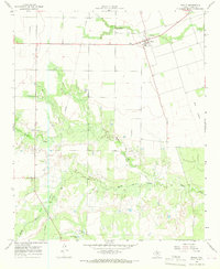
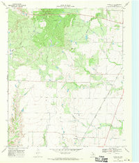
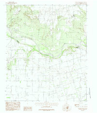
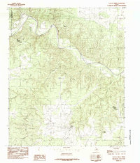
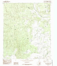
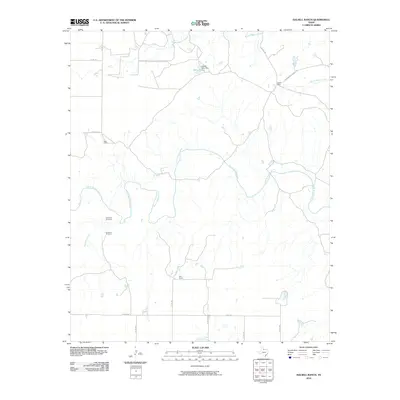
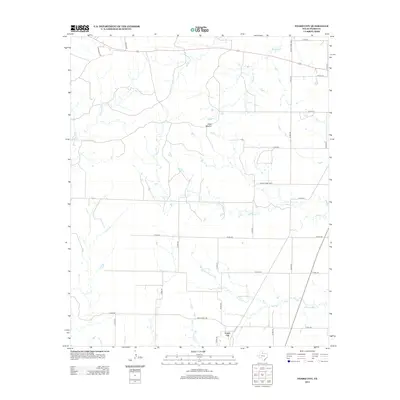
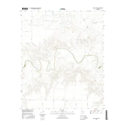
Boiling Spring serves as the namesake landmark for this stretch of the Texas ranchlands, where the landscape is defined by the drainage systems feeding into the North Wichita River. Mapped in the late 1960s with revisions through 1979, the topography shows a network of seasonal watercourses like Blue Hole Creek and Good Creek winding through the undulating terrain. The area's ranching character is evident in the fine red dashed lines indicating selected fence lines, which cut across the open country regardless of the winding paths of Little Good Creek or the wider Wichita R. This survey captures the rural isolation of Foard County before more modern development, emphasizing natural features and property boundaries over dense settlement.
Find a feature on this map
6 named features on this map. Tap any name to fly to it.
Don’t see what you’re looking for? This feature index may not catch every label — zoom into the map to look around manually.
Map Details
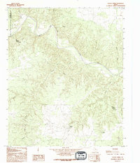
Editions of this 1968 Boiling Spring Map
2 editions found
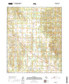
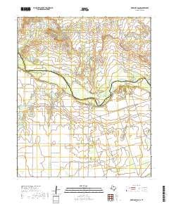
Historical Maps of Foard County Through Time
67 maps found
1927 Quanah 3-b
Foard County, TX
1932 Vivian
Foard County, TX

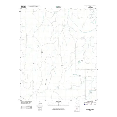
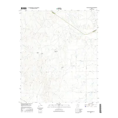
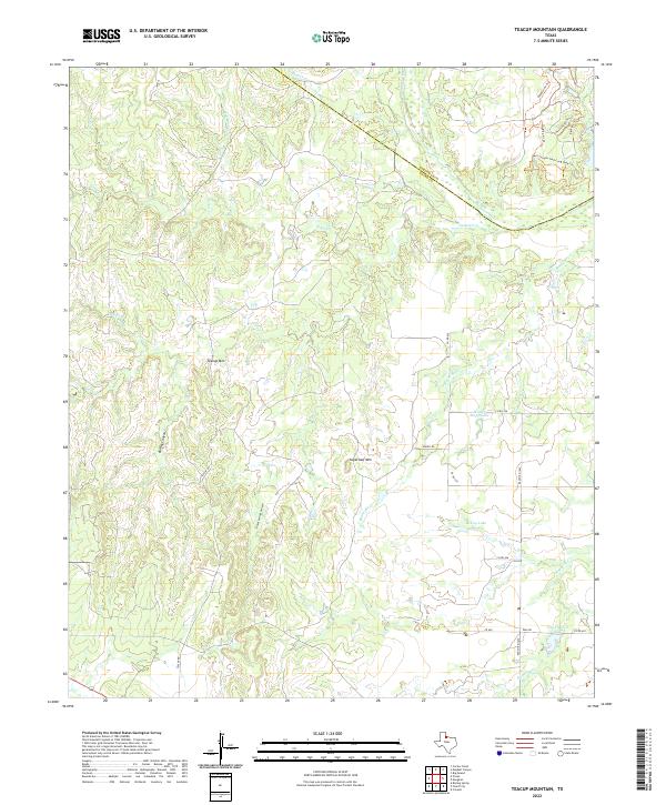
1960 Teacup Mountain
Foard County, TX
1966 Colwell Creek
Foard County, TX
1966 Halsell Ranch
Foard County, TX
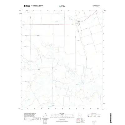
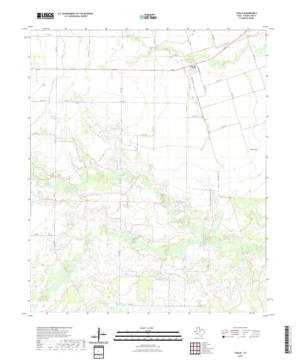
1966 Thalia
Foard County, TX
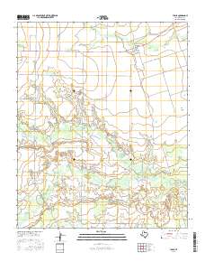
1968 Boiling Spring
Foard County, TX
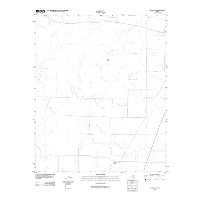
1968 Foard City
Foard County, TX
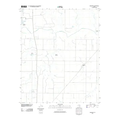
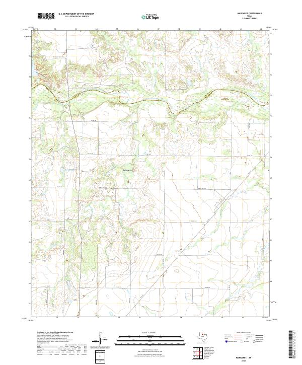
1983 Margaret
Foard County, TX
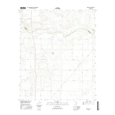
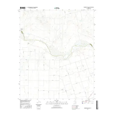
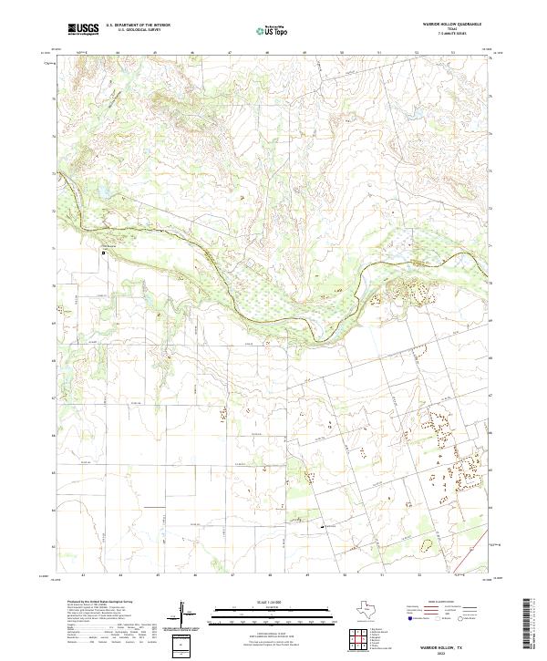
1983 Warrior Hollow
Foard County, TX
1984 Cactus Creek
Foard County, TX
1984 Teacup Mountain
Foard County, TX
1984 Vivian
Foard County, TX
1990 Cactus Creek
Foard County, TX
1990 Margaret
Foard County, TX
1990 Teacup Mountain
Foard County, TX
1990 Vivian
Foard County, TX
2010 Boiling Spring
Foard County, TX
2010 Cactus Creek
Foard County, TX
2010 Colwell Creek
Foard County, TX
2010 Foard City
Foard County, TX
2010 Halsell Ranch
Foard County, TX
2010 Margaret
Foard County, TX
2010 Teacup Mountain
Foard County, TX
2010 Thalia
Foard County, TX
2010 Vivian
Foard County, TX
2010 Warrior Hollow
Foard County, TX
2012 Cactus Creek
Foard County, TX
2012 Foard City
Foard County, TX
2012 Margaret
Foard County, TX
2012 Teacup Mountain
Foard County, TX
2012 Thalia
Foard County, TX
2012 Vivian
Foard County, TX
2012 Warrior Hollow
Foard County, TX
2013 Boiling Spring
Foard County, TX
2013 Colwell Creek
Foard County, TX
2013 Halsell Ranch
Foard County, TX

2016 Boiling Spring
Foard County, TX
2016 Cactus Creek
Foard County, TX
2016 Colwell Creek
Foard County, TX
2016 Foard City
Foard County, TX
2016 Halsell Ranch
Foard County, TX
2016 Margaret
Foard County, TX
2016 Teacup Mountain
Foard County, TX
2016 Thalia
Foard County, TX
2016 Vivian
Foard County, TX
2016 Warrior Hollow
Foard County, TX
2019 Boiling Spring
Foard County, TX
2019 Cactus Creek
Foard County, TX
2019 Colwell Creek
Foard County, TX
2019 Foard City
Foard County, TX
2019 Halsell Ranch
Foard County, TX
2019 Margaret
Foard County, TX

2019 Teacup Mountain
Foard County, TX
2019 Thalia
Foard County, TX
2019 Vivian
Foard County, TX
2019 Warrior Hollow
Foard County, TX
2022 Boiling Spring
Foard County, TX
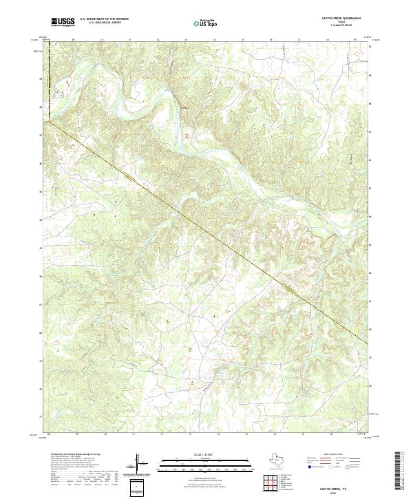
2022 Cactus Creek
Foard County, TX
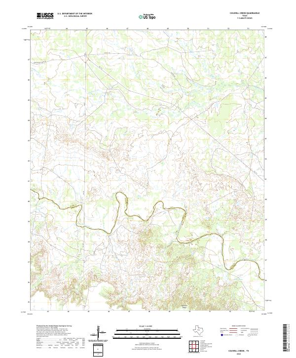
2022 Colwell Creek
Foard County, TX
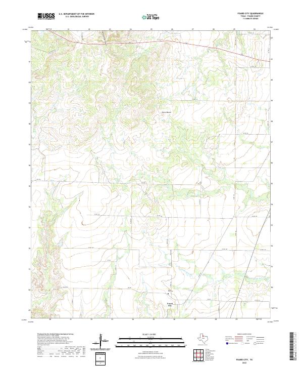
2022 Foard City
Foard County, TX
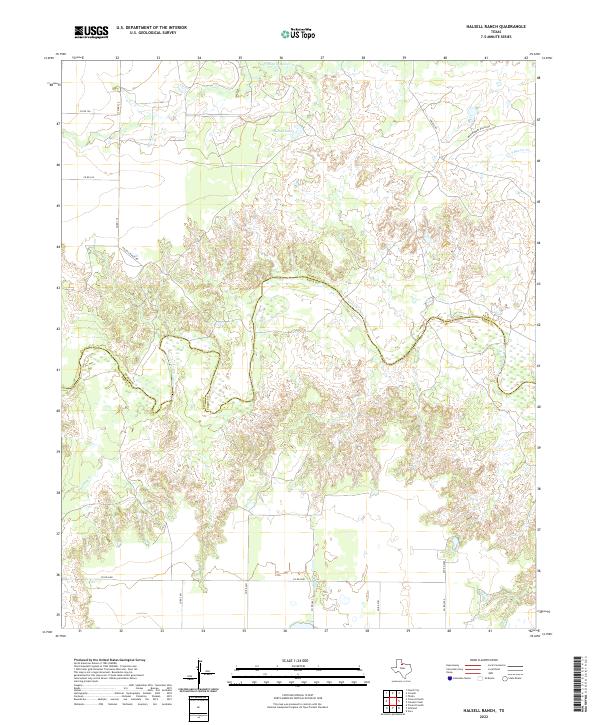
2022 Halsell Ranch
Foard County, TX
2022 Margaret
Foard County, TX
2022 Teacup Mountain
Foard County, TX
2022 Thalia
Foard County, TX
2022 Vivian
Foard County, TX
2022 Warrior Hollow
Foard County, TX