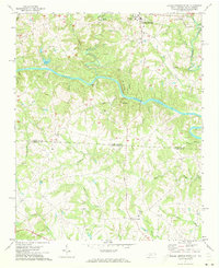
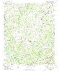
1971 Map of Boiling Springs South
USGS Topo · Published 1973About this map
Gardner-Webb College serves as a northern anchor for this 1971 study of the borderlands between North Carolina and South Carolina. The Broad River winds through the center of the terrain, flanked by significant elevations like Abes Mtn and Flint Hill. This period of the early 1970s shows a landscape of established rural communities, centered around crossroads like Boiling Springs and Grassy Pond, and marked by numerous country sanctuaries including Mt Pleasant Ch and Lavonia Ch.
Find a feature on this map
37 named features on this map. Tap any name to fly to it.
Don’t see what you’re looking for? This feature index may not catch every label — zoom into the map to look around manually.
Map Details
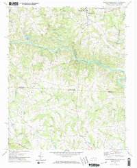
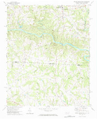
Editions of this 1971 Boiling Springs South Map
3 editions found
Other maps of this area

1909 · Gaffney
USGS Topo · 1:62,500

1950 · Shelby
USGS Topo · 1:62,500

1953 · Charlotte
USGS Topo · 1:250,000

1954 · Charlotte
USGS Topo · 1:250,000

1959 · Cowpens
USGS Topo · 1:62,500

1960 · Charlotte
USGS Topo · 1:250,000

1962 · Charlotte
USGS Topo · 1:250,000

1966 · Forest City
USGS Topo · 1:24,000
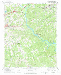
1971 · Blacksburg South
USGS Topo · 1:24,000
1971 · Blacksburg North
USGS Topo · 1:24,000