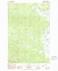
1986 Map of Boistfort
USGS Topo · Published 1986About this map
The Chehalis River meanders through the northeast corner of this Lewis County landscape, where the small community of Ceres sits at the base of Ceres Hill. The terrain transitions from these river lowlands into the broad, flat expanse of the Boistfort Prairie to the southeast. This area is defined by its timber and resource history, evidenced by the Lumber Sorting Yard and several Borrow Pits scattered near the watercourses.
Find a feature on this map
29 named features on this map. Tap any name to fly to it.
Don’t see what you’re looking for? This feature index may not catch every label — zoom into the map to look around manually.
Map Details
Editions of this 1986 Boistfort Map
2 editions found
Other maps of this area
1941 · Walville
USGS Topo · 1:62,500
1941 · Meskill
USGS Topo · 1:62,500
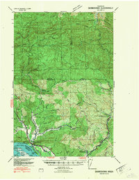
1941 · Skamokawa
USGS Topo · 1:62,500

1953 · Hoquiam
USGS Topo · 1:250,000
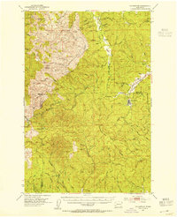
1953 · Ryderwood
USGS Topo · 1:62,500
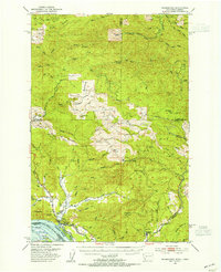
1953 · Skamokawa
USGS Topo · 1:62,500
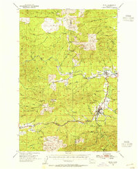
1953 · Pe Ell
USGS Topo · 1:62,500
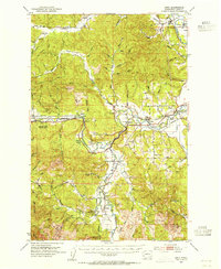
1953 · Adna
USGS Topo · 1:62,500
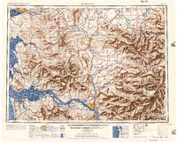
1957 · Hoquiam
USGS Topo · 1:250,000
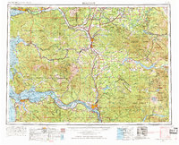
1958 · Hoquiam
USGS Topo · 1:250,000