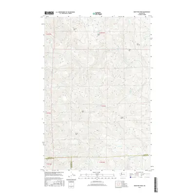
2017 Map of Boistfort Peak
USGS Topo · Published 2017About this map
Boistfort Peak dominates this corner of the Pacific Northwest, where the headwaters of several critical drainage systems converge. This high-country landscape serves as a hydrological divide, sending waters toward the S Fork Chehalis River in the east and the E Fork Elochoman River to the south. The terrain is defined by a series of prominent summits including Sure Shot Mtn, Clinton Knob, and Ferrier Peak, which rise above a dense network of mountain streams. Local landmarks such as Little Onion and Round Knob are interspersed between the deep valleys of Stillman Cr and its various forks. The map also records the jurisdictional tri-point where Lewis, Wahkiakum, and Cowlitz counties meet, highlighting how these physical ridgelines have historically dictated the boundaries of local governance in this timber-rich region of Washington.
Find a feature on this map
33 named features on this map. Tap any name to fly to it.
Don’t see what you’re looking for? This feature index may not catch every label — zoom into the map to look around manually.
Map Details
Editions of this 2017 Boistfort Peak Map
This is the sole edition of this map. No revisions or reprints were ever made.
Other maps of this area

1941 · Walville
USGS Topo · 1:62,500

1941 · Meskill
USGS Topo · 1:62,500

1941 · Skamokawa
USGS Topo · 1:62,500

1953 · Hoquiam
USGS Topo · 1:250,000

1953 · Ryderwood
USGS Topo · 1:62,500

1953 · Skamokawa
USGS Topo · 1:62,500

1953 · Pe Ell
USGS Topo · 1:62,500

1953 · Adna
USGS Topo · 1:62,500

1957 · Hoquiam
USGS Topo · 1:250,000

1958 · Hoquiam
USGS Topo · 1:250,000