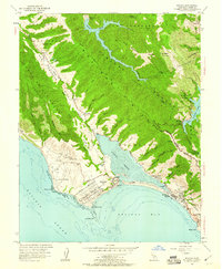
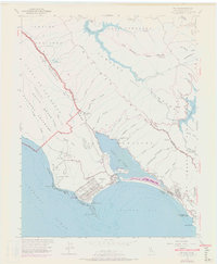
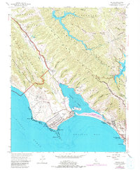
1954 Map of Bolinas
USGS Topo · Published 1960About this map
The San Andreas Rift Zone forms a striking northwest-southeast diagonal across this coastal landscape, creating the distinct valley that holds Olema Creek and the narrow Bolinas Lagoon. Along the shoreline, the coastal settlements of Bolinas and Stinson Beach are connected by the curving Bolinas Road, while the interior hills are dominated by Pine Mountain Ridge and Baulines Ridge.
Find a feature on this map
57 named features on this map. Tap any name to fly to it.
Don’t see what you’re looking for? This feature index may not catch every label — zoom into the map to look around manually.
Map Details
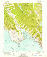
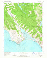
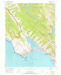
Editions of this 1954 Bolinas Map
6 editions found
Other maps of this area

1897 · Tamalpais
USGS Topo · 1:62,500

1914 · Petaluma
USGS Topo · 1:62,500

1916 · Point Reyes
USGS Topo · 1:48,000

1918 · Point Reyes
USGS Topo · 1:62,500

1941 · Tamalpais
USGS Topo · 1:62,500

1942 · Petaluma
USGS Topo · 1:62,500

1947 · Santa Rosa
USGS Topo · 1:250,000

1947 · San Francisco
USGS Topo · 1:250,000

1948 · San Francisco
USGS Topo · 1:250,000

1949 · Santa Rosa
USGS Topo · 1:250,000