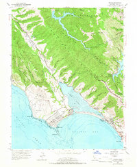
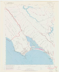
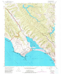
1954 Map of Bolinas
USGS Topo · Published 1966About this map
Bolinas Ridge and the Bolinas Rift Zone dominate this coastal landscape, illustrating the dramatic geological divide between the mainland and the Point Reyes National Seashore. The 1950s settlement pattern is centered around the tidal waters of Bolinas Lagoon, where the small village of Bolinas is situated near the Coast Guard Mast and Duxbury Point. To the southeast, the development of Stinson Beach is visible along the Panoramic Highway, including the Stinson Beach Sch and the adjacent Stinson Beach State Park.
Find a feature on this map
66 named features on this map. Tap any name to fly to it.
Don’t see what you’re looking for? This feature index may not catch every label — zoom into the map to look around manually.
Map Details
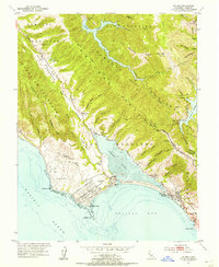
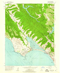
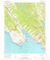
Editions of this 1954 Bolinas Map
6 editions found
Other maps of this area

1897 · Tamalpais
USGS Topo · 1:62,500

1914 · Petaluma
USGS Topo · 1:62,500

1916 · Point Reyes
USGS Topo · 1:48,000

1918 · Point Reyes
USGS Topo · 1:62,500

1941 · Tamalpais
USGS Topo · 1:62,500

1942 · Petaluma
USGS Topo · 1:62,500

1947 · Santa Rosa
USGS Topo · 1:250,000

1947 · San Francisco
USGS Topo · 1:250,000

1948 · San Francisco
USGS Topo · 1:250,000

1949 · Santa Rosa
USGS Topo · 1:250,000