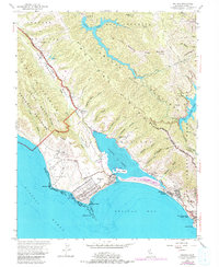
1954 Map of Bolinas
USGS Topo · Published 1980About this map
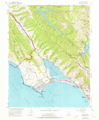
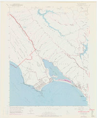
Bolinas Lagoon dominates the coastline of this Marin County survey, illustrating the complex geography of the San Andreas Rift Zone. The village of Bolinas sits at the southwestern tip of the peninsula, guarded by Duxbury Point and the extensive Duxbury Reef, while Stinson Beach stretches along the southern sandbar. The map details a landscape transitioning from the coastal Mesa to the high ridges of Mt Tamalpais and Bolinas Ridge. Inland, the importance of water management is evident at Alpine Lake and Kent Lake, secured by Alpine Dam and Peters Dam. Local landmarks such as the Bolinas Military Res, McKinhan Gulch Mine, and Bolinas School provide specific points of interest for genealogists and local historians studying the mid-century development of these coastal enclaves.
Find a feature on this map
68 named features on this map. Tap any name to fly to it.
Don’t see what you’re looking for? This feature index may not catch every label — zoom into the map to look around manually.
Map Details
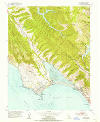
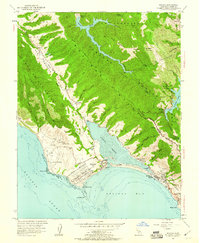
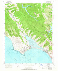
Editions of this 1954 Bolinas Map
6 editions found
Other maps of this area

1897 · Tamalpais
USGS Topo · 1:62,500

1914 · Petaluma
USGS Topo · 1:62,500

1916 · Point Reyes
USGS Topo · 1:48,000

1918 · Point Reyes
USGS Topo · 1:62,500

1941 · Tamalpais
USGS Topo · 1:62,500

1942 · Petaluma
USGS Topo · 1:62,500

1947 · Santa Rosa
USGS Topo · 1:250,000

1947 · San Francisco
USGS Topo · 1:250,000

1948 · San Francisco
USGS Topo · 1:250,000

1949 · Santa Rosa
USGS Topo · 1:250,000