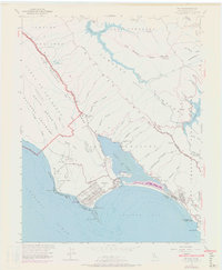
1954 Map of Bolinas
USGS Topo · Published 1972About this map
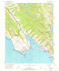
The San Andreas Rift Zone creates a striking diagonal trough through this coastal landscape, marking the tectonic boundary between the Punta de los Reyes National Seashore and the mainland. This mid-century survey captures the Marin coastline when Bolinas and Stinson Beach served as focal points for local life, each with its own Bolinas School and Stinson Beach School. The map documents a diverse local economy and land use, ranging from the industrial history of the Copper Mine and McKinnan Gulch Mine to the conservation efforts at the Bolinas Quail Refuge. Cultural and military footprints are visible at the Bolinas Military Res and Hill 640 Military Res, while the geography of the Bolinas Lagoon is anchored by Kent Island. Coastal infrastructure is well-defined, including the Coast Guard Mast and several Radio Towers overlooking the Pacific Ocean.
Find a feature on this map
77 named features on this map. Tap any name to fly to it.
Don’t see what you’re looking for? This feature index may not catch every label — zoom into the map to look around manually.
Map Details
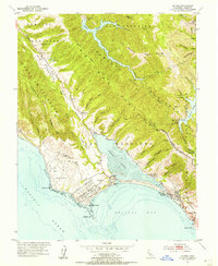
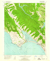
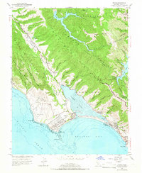
Editions of this 1954 Bolinas Map
6 editions found
Other maps of this area

1897 · Tamalpais
USGS Topo · 1:62,500

1914 · Petaluma
USGS Topo · 1:62,500

1916 · Point Reyes
USGS Topo · 1:48,000

1918 · Point Reyes
USGS Topo · 1:62,500

1941 · Tamalpais
USGS Topo · 1:62,500

1942 · Petaluma
USGS Topo · 1:62,500

1947 · Santa Rosa
USGS Topo · 1:250,000

1947 · San Francisco
USGS Topo · 1:250,000

1948 · San Francisco
USGS Topo · 1:250,000

1949 · Santa Rosa
USGS Topo · 1:250,000