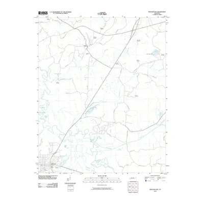
2010 Map of Bolivar East
USGS Topo · Published 2010About this map
The Hatchie River meanders through the western portion of this Tennessee landscape, creating a complex system of oxbows and wetlands including Horseshoe Pond, Jack Pond, and the Grinnel Pond. In the southwest corner, the city of Bolivar serves as a local hub, featuring the Bolivar Post Office and established burial grounds like Polk Cemetery and Union Cemetery. To the north, the settlement of Toone is positioned near the headwaters of Pugh Creek and Mill Creek, surrounded by family-named landmarks and cemeteries such as Overton Cemetery and Bradford Cemetery.
Find a feature on this map
65 named features on this map. Tap any name to fly to it.
Don’t see what you’re looking for? This feature index may not catch every label — zoom into the map to look around manually.
Map Details
Editions of this 2010 Bolivar East Map
This is the sole edition of this map. No revisions or reprints were ever made.
Other maps of this area

1950 · Hebron
USGS Topo · 1:24,000

1950 · Hornsby
USGS Topo · 1:24,000

1950 · Middleburg
USGS Topo · 1:24,000

1951 · Middleburg
USGS Topo · 1:24,000

1951 · Hebron
USGS Topo · 1:24,000

1951 · Hornsby
USGS Topo · 1:24,000

1956 · Blytheville
USGS Topo · 1:250,000

1959 · Blytheville
USGS Topo · 1:250,000

1961 · Bolivar West
USGS Topo · 1:24,000

1961 · Medon
USGS Topo · 1:24,000