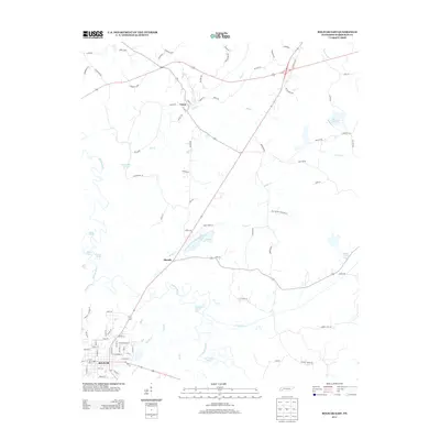
2013 Map of Bolivar East
USGS Topo · Published 2013About this map
The Hatchie River dominates the western landscape of this Hardeman County region, its winding course creating a complex network of wetlands and oxbows including Horseshoe Pond and The Grinnel Pond. In the southwest corner, the city of Bolivar serves as a primary hub, with its grid of streets such as Fisher St and Fairgrounds St extending toward Spring Cr. Further north, the smaller settlements of Toone and Shandy anchor the rural landscape, connected by a network of timber and farm roads.
Find a feature on this map
86 named features on this map. Tap any name to fly to it.
Don’t see what you’re looking for? This feature index may not catch every label — zoom into the map to look around manually.
Map Details
Editions of this 2013 Bolivar East Map
This is the sole edition of this map. No revisions or reprints were ever made.
Other maps of this area

1950 · Hebron
USGS Topo · 1:24,000

1950 · Hornsby
USGS Topo · 1:24,000

1950 · Middleburg
USGS Topo · 1:24,000

1951 · Middleburg
USGS Topo · 1:24,000

1951 · Hebron
USGS Topo · 1:24,000

1951 · Hornsby
USGS Topo · 1:24,000

1956 · Blytheville
USGS Topo · 1:250,000

1959 · Blytheville
USGS Topo · 1:250,000

1961 · Bolivar West
USGS Topo · 1:24,000

1961 · Medon
USGS Topo · 1:24,000