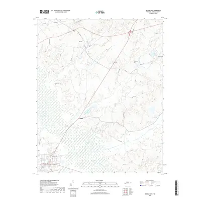
2019 Map of Bolivar East
USGS Topo · Published 2019About this map
The Hatchie River and its expansive wetlands at Hatchie Bottom dominate this portion of Hardeman County, defining the landscape south of Toone and Shandy. The northern outskirts of Bolivar are visible in the southwest, where the street grid includes landmarks like Union Cem and Polk Cem. This region is characterized by a high density of family-named cemeteries and rural roads that follow the rise and fall of the terrain above the river valley. Numerous small ponds and lakes, such as Yarbrough Lake and The Grinnel Pond, are scattered across the bottomlands and wooded uplands. The road network, featuring routes like Eighteen Loop and Valley Rd, connects isolated homesteads and small agricultural settlements, reflecting a long-standing pattern of rural Tennessee life shaped by the proximity to the river's winding course.
Find a feature on this map
64 named features on this map. Tap any name to fly to it.
Don’t see what you’re looking for? This feature index may not catch every label — zoom into the map to look around manually.
Map Details
Editions of this 2019 Bolivar East Map
This is the sole edition of this map. No revisions or reprints were ever made.
Other maps of this area

1950 · Hebron
USGS Topo · 1:24,000

1950 · Hornsby
USGS Topo · 1:24,000

1950 · Middleburg
USGS Topo · 1:24,000

1951 · Middleburg
USGS Topo · 1:24,000

1951 · Hebron
USGS Topo · 1:24,000

1951 · Hornsby
USGS Topo · 1:24,000

1956 · Blytheville
USGS Topo · 1:250,000

1959 · Blytheville
USGS Topo · 1:250,000

1961 · Bolivar West
USGS Topo · 1:24,000

1961 · Medon
USGS Topo · 1:24,000