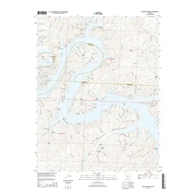
2015 Map of Bollinger Creek
USGS Topo · Published 2015About this map
Lake of the Ozarks dominates this Missouri landscape, where the winding shoreline creates a complex geography of peninsulas and deep coves. The irregular water's edge defines residential development at Ivy Bend and Dodds, characterized by a dense network of local roads like Ivy Bend Rd and Coffman Bend Dr. This map illustrates how the rugged topography of the Ozark Plateau was transformed by the lake, leaving high points such as King Bluff and Thornsberry Point as prominent landmarks above the flooded valleys.
Find a feature on this map
164 named features on this map. Tap any name to fly to it.
Don’t see what you’re looking for? This feature index may not catch every label — zoom into the map to look around manually.
Map Details
Editions of this 2015 Bollinger Creek Map
This is the sole edition of this map. No revisions or reprints were ever made.
Other maps of this area

1887 · Warsaw
USGS Topo · 1:125,000

1888 · Versailles
USGS Topo · 1:125,000

1893 · Versailles
USGS Topo · 1:125,000

1894 · Warsaw
USGS Topo · 1:125,000

1904 · Gravois Mills
USGS Topo · 1:62,500

1934 · Purvis
USGS Topo · 1:24,000

1934 · Irontown Ferry
USGS Topo · 1:24,000

1934 · Green Bay Terrace
USGS Topo · 1:24,000

1935 · Gravois Mills
USGS Topo · 1:24,000

1935 · Barnumton
USGS Topo · 1:24,000