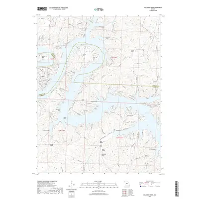
2017 Map of Bollinger Creek
USGS Topo · Published 2017About this map
The intricate shoreline of the Lake of the Ozarks defines this region of Missouri, where the sprawling reservoir meets the steep terrain of Morgan and Camden counties. This 2017 survey details the complex network of coves and points that emerged after the flooding of the Osage River valley, creating a landscape of peninsulas like Thornsberry Point and Apache Point. The map provides significant detail for genealogists, preserving the locations of several small family or community burial grounds including Parish Cem, Wilson Cem, and Woolery Cem. Settlement is concentrated in areas like Ivy Bend, supported by the Ivy Bend Airport, while the underlying topography is marked by numerous hollows such as Polly Hollow and Jenkins Hollow. This modern record illustrates the intersection of recreation-based development and the persistent rural character of the Missouri Ozarks.
Find a feature on this map
157 named features on this map. Tap any name to fly to it.
Don’t see what you’re looking for? This feature index may not catch every label — zoom into the map to look around manually.
Map Details
Editions of this 2017 Bollinger Creek Map
This is the sole edition of this map. No revisions or reprints were ever made.
Other maps of this area

1887 · Warsaw
USGS Topo · 1:125,000

1888 · Versailles
USGS Topo · 1:125,000

1893 · Versailles
USGS Topo · 1:125,000

1894 · Warsaw
USGS Topo · 1:125,000

1904 · Gravois Mills
USGS Topo · 1:62,500

1934 · Purvis
USGS Topo · 1:24,000

1934 · Irontown Ferry
USGS Topo · 1:24,000

1934 · Green Bay Terrace
USGS Topo · 1:24,000

1935 · Gravois Mills
USGS Topo · 1:24,000

1935 · Barnumton
USGS Topo · 1:24,000