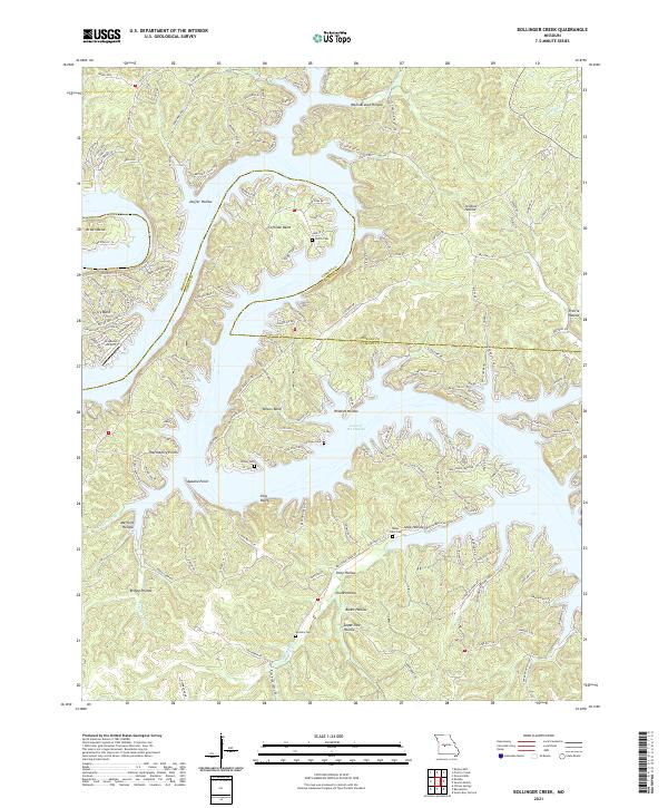
2021 Map of Bollinger Creek
USGS Topo · Published 2021About this map
Lake of the Ozarks dominates this landscape, its intricate, branching arms reaching deep into the winding hollows of Camden and Morgan counties. The 2021 terrain is defined by dramatic peninsulas and points, including Thornsberry Point, Apache Point, and the prominent King Bluff. These landforms create a highly fragmented shoreline where residential development and recreational spaces intermingle with the natural topography. Settlements like Ivy Bend and Brown Bend are connected by a complex network of local roads such as Ivy Bend Rd and Co Rd 135-12, reflecting the area's modern identity as a lakeside retreat.
Find a feature on this map
172 named features on this map. Tap any name to fly to it.
Don’t see what you’re looking for? This feature index may not catch every label — zoom into the map to look around manually.
Map Details
Editions of this 2021 Bollinger Creek Map
This is the sole edition of this map. No revisions or reprints were ever made.
Other maps of this area

1887 · Warsaw
USGS Topo · 1:125,000

1888 · Versailles
USGS Topo · 1:125,000

1893 · Versailles
USGS Topo · 1:125,000

1894 · Warsaw
USGS Topo · 1:125,000

1904 · Gravois Mills
USGS Topo · 1:62,500

1934 · Purvis
USGS Topo · 1:24,000

1934 · Irontown Ferry
USGS Topo · 1:24,000

1934 · Green Bay Terrace
USGS Topo · 1:24,000

1935 · Gravois Mills
USGS Topo · 1:24,000

1935 · Barnumton
USGS Topo · 1:24,000