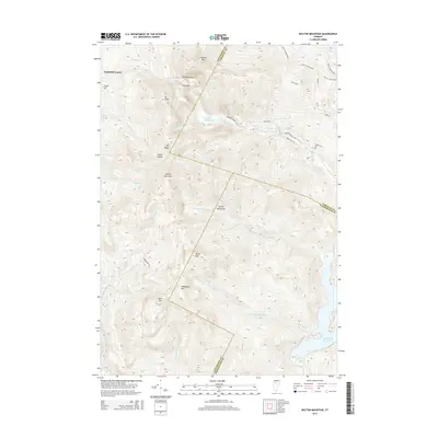
2015 Map of Bolton Mountain
USGS Topo · Published 2015About this map
The high peaks of the Green Mountains dominate this 2015 survey, where the borders of Chittenden, Lamoille, and Washington Counties converge. This high-elevation landscape is defined by its dramatic relief, including the summit of Bolton Mountain and the steep descent into Talbot Hollow. To the west, the settlement of Underhill Center sits at the base of the range, serving as a gateway to the complex network of drainage systems like Mill Brook and Lee River.
Find a feature on this map
39 named features on this map. Tap any name to fly to it.
Don’t see what you’re looking for? This feature index may not catch every label — zoom into the map to look around manually.
Map Details
Editions of this 2015 Bolton Mountain Map
This is the sole edition of this map. No revisions or reprints were ever made.
Other maps of this area

1919 · Montpelier
USGS Topo · 1:62,500

1921 · Richmond
USGS Topo · 1:48,000

1921 · Montpelier
USGS Topo · 1:62,500

1924 · Camels Hump
USGS Topo · 1:62,500

1925 · Mount Mansfield
USGS Topo · 1:48,000

1927 · Mount Mansfield
USGS Topo · 1:62,500

1927 · Hyde Park
USGS Topo · 1:48,000

1930 · Hyde Park
USGS Topo · 1:62,500
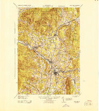
1943 · Hyde Park
USGS Topo · 1:62,500

1944 · Montpelier
USGS Topo · 1:62,500