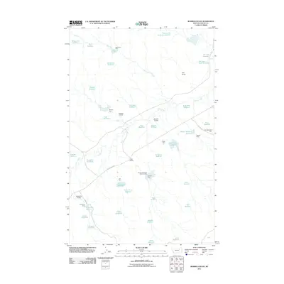
2011 Map of Bomber Coulee
USGS Topo · Published 2011About this map
Two Buttes rises as a prominent landmark in this northern Valley County landscape, characterized by a complex network of coulees and drainage-management structures. The terrain is deeply inscribed by seasonal waterways like Dog Creek and Willow Creek, which feed an extensive system of small-scale reservoirs and detention basins. Names like Chowder Reservoir, Snow Blind Reservoir, and Salty Glen Reservoir hint at a history of ranching and water conservation in this arid region of Montana.
Find a feature on this map
50 named features on this map. Tap any name to fly to it.
Don’t see what you’re looking for? This feature index may not catch every label — zoom into the map to look around manually.
Map Details
Editions of this 2011 Bomber Coulee Map
This is the sole edition of this map. No revisions or reprints were ever made.
Other maps of this area

1943 · Glasgow
USGS Topo · 1:125,000

1954 · Jordan
USGS Topo · 1:250,000

1954 · Glasgow
USGS Topo · 1:250,000

1956 · Jordan
USGS Topo · 1:250,000

1957 · Glasgow
USGS Topo · 1:250,000

1958 · Glasgow
USGS Topo · 1:250,000

1958 · Jordan
USGS Topo · 1:250,000

1958 · Miller Coulee
USGS Topo · 1:62,500

1958 · Collins Ranch
USGS Topo · 1:62,500

1958 · Lewis Reservoir
USGS Topo · 1:24,000