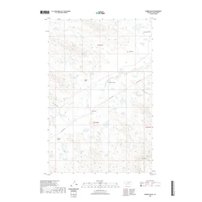
2020 Map of Bomber Coulee
USGS Topo · Published 2020About this map
Bomber Coulee and several other significant drainage channels dominate this portion of Valley County, where the landscape is defined by an extensive system of small-scale water management. Numerous reservoirs, often named for specific families or local characteristics, illustrate the necessity of water collection in this semi-arid terrain. Features like Salty Glen Reservoir, Snow Blind Reservoir, and Old Dog Cr Reservoir are scattered across the landscape, connected by intermittent streams such as Willow Cr and Dog Cr.
Find a feature on this map
45 named features on this map. Tap any name to fly to it.
Don’t see what you’re looking for? This feature index may not catch every label — zoom into the map to look around manually.
Map Details
Editions of this 2020 Bomber Coulee Map
This is the sole edition of this map. No revisions or reprints were ever made.
Other maps of this area

1943 · Glasgow
USGS Topo · 1:125,000

1954 · Jordan
USGS Topo · 1:250,000

1954 · Glasgow
USGS Topo · 1:250,000

1956 · Jordan
USGS Topo · 1:250,000

1957 · Glasgow
USGS Topo · 1:250,000

1958 · Glasgow
USGS Topo · 1:250,000

1958 · Jordan
USGS Topo · 1:250,000

1958 · Miller Coulee
USGS Topo · 1:62,500

1958 · Collins Ranch
USGS Topo · 1:62,500

1958 · Lewis Reservoir
USGS Topo · 1:24,000