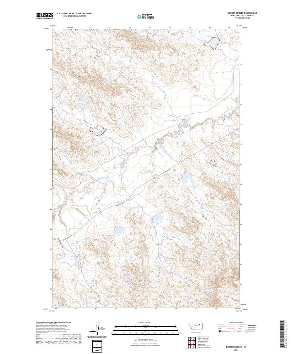
2024 Map of Bomber Coulee
USGS Topo · Published 2024About this map
The northern Missouri River breaks in Valley County are defined by the intricate drainage systems and high-desert terrain captured in this modern survey. Dominating the landscape is the namesake Bomber Coulee, which winds through the eastern portion of the quadrangle alongside other prominent drainages like Pearson Coulee and Hay Coulee. The topography is marked by a series of high points and ridges, most notably the landmark Two Buttes, which provides a distinct vertical orientation in an area otherwise characterized by its undulating coulees and seasonal watercourses.
Find a feature on this map
15 named features on this map. Tap any name to fly to it.
Don’t see what you’re looking for? This feature index may not catch every label — zoom into the map to look around manually.
Map Details
Editions of this 2024 Bomber Coulee Map
This is the sole edition of this map. No revisions or reprints were ever made.
Other maps of this area

1943 · Glasgow
USGS Topo · 1:125,000

1954 · Jordan
USGS Topo · 1:250,000

1954 · Glasgow
USGS Topo · 1:250,000

1956 · Jordan
USGS Topo · 1:250,000

1957 · Glasgow
USGS Topo · 1:250,000

1958 · Glasgow
USGS Topo · 1:250,000

1958 · Jordan
USGS Topo · 1:250,000

1958 · Miller Coulee
USGS Topo · 1:62,500

1958 · Collins Ranch
USGS Topo · 1:62,500

1958 · Lewis Reservoir
USGS Topo · 1:24,000