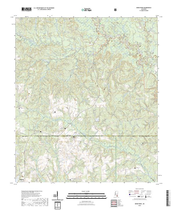
2024 Map of Bond Pond
USGS Topo · Published 2024About this map
The Black Creek Wild and Scenic River carves through the heart of the De Soto National Forest on this modern survey of the Perry and Stone county line. The landscape is defined by its deep drainage networks, where Beaverdam Creek and Bluff Creek feed into the protected corridors of the Black Creek Wilderness. The map reveals a high density of rural burial grounds that speak to the area's ancestral roots, including family-named sites like the Haines Family Cem and the Howard-Breland Cem.
Find a feature on this map
68 named features on this map. Tap any name to fly to it.
Don’t see what you’re looking for? This feature index may not catch every label — zoom into the map to look around manually.
Map Details
Editions of this 2024 Bond Pond Map
This is the sole edition of this map. No revisions or reprints were ever made.
Other maps of this area

1947 · Beaumont
USGS Topo · 1:62,500

1947 · Wiggins
USGS Topo · 1:62,500

1947 · New Augusta
USGS Topo · 1:62,500

1947 · Benndale
USGS Topo · 1:62,500

1949 · Wiggins
USGS Topo · 1:62,500

1949 · Beaumont
USGS Topo · 1:62,500

1949 · New Augusta
USGS Topo · 1:62,500

1949 · Benndale
USGS Topo · 1:62,500

1953 · Hattiesburg
USGS Topo · 1:250,000

1953 · Mobile
USGS Topo · 1:250,000