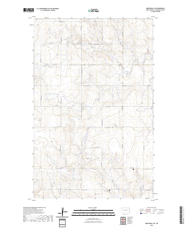
2024 Map of Bonetraill SW
USGS Topo · Published 2024About this map
Cow Creek and Painted Woods Creek wind through this prairie landscape in Williams County, shaping the local topography of drainage and coulees. The terrain is defined by its agricultural and conservation character, notably featuring the Williams County Waterfowl Production Area, which preserves critical wetland habitat. The rural road network, including Co Hwy 8 and Co HWY 6, connects scattered farmsteads across the township blocks of T156N and T155N. Local history and genealogy interest is anchored by the Williston Cem and Saint Lucas Cem, the latter located near the southern boundary along 58th St NW. These sites, along with the alignment of Hebron Township Rd, reflect the enduring footprint of settlement in this northwestern North Dakota region.
Find a feature on this map
31 named features on this map. Tap any name to fly to it.
Don’t see what you’re looking for? This feature index may not catch every label — zoom into the map to look around manually.
Map Details
Editions of this 2024 Bonetraill SW Map
This is the sole edition of this map. No revisions or reprints were ever made.
Other maps of this area

1953 · Williston
USGS Topo · 1:250,000

1954 · Wolf Point
USGS Topo · 1:250,000

1957 · Williston
USGS Topo · 1:250,000

1958 · Wolf Point
USGS Topo · 1:250,000

1974 · Bonetraill
USGS Topo · 1:24,000

1974 · Brush Mountain
USGS Topo · 1:24,000

1974 · West Bonetraill
USGS Topo · 1:24,000

1974 · Red Bank Creek
USGS Topo · 1:24,000

1974 · Bonetraill SW
USGS Topo · 1:24,000

1974 · Trenton NE
USGS Topo · 1:24,000