
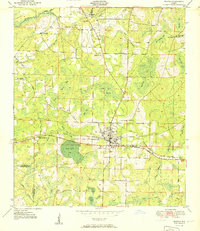
1951 Map of Bonifay
USGS Topo · Published 1951About this map
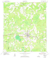
The town of Bonifay serves as the focal point of this Panhandle landscape, where the Louisville and Nashville railroad and the Old Spanish Trail converge. This transportation hub is surrounded by a complex network of wetlands and bays, including Sand Path Bay, Gum Creek Swamp, and Tom Williams Bay. The settlement pattern follows the higher ground between these water bodies, marked by numerous rural congregations such as Mt Olive Ch and New Smyrna Ch.
Find a feature on this map
38 named features on this map. Tap any name to fly to it.
Don’t see what you’re looking for? This feature index may not catch every label — zoom into the map to look around manually.
Map Details
Editions of this 1951 Bonifay Map
3 editions found
Other maps of this area

1949 · Hinsons Cross Roads
USGS Topo · 1:24,000

1949 · Caryville
USGS Topo · 1:24,000

1950 · Hinsons Cross Roads
USGS Topo · 1:24,000

1950 · Caryville
USGS Topo · 1:24,000

1950 · Izagora
USGS Topo · 1:24,000

1950 · Chipley
USGS Topo · 1:24,000

1950 · Wausau
USGS Topo · 1:24,000

1950 · Esto
USGS Topo · 1:24,000

1950 · Poplar Head
USGS Topo · 1:24,000

1951 · Graceville
USGS Topo · 1:24,000