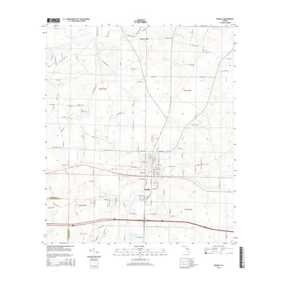
2015 Map of Bonifay
USGS Topo · Published 2015About this map
The town of Bonifay serves as a central hub on this Holmes County landscape, where the street grid meets an intricate network of rural roads and watercourses. To the north, Hoover Mill and family-named landmarks like Adolph Whitaker Rd and Jensen Ln highlight the local settlement patterns of the early 21st century. The terrain is defined by its drainage into Wrights Creek and Gum Branch, with specialized aviation infrastructure evident at Tharpe Airport. Genealogists may find value in the location of the Stitt Cemetery, while the southern portion of the map documents the boundary with Washington County near Sun Lake. This survey illustrates the modern evolution of the Florida Panhandle, where agricultural roots persist alongside established transportation corridors.
Find a feature on this map
132 named features on this map. Tap any name to fly to it.
Don’t see what you’re looking for? This feature index may not catch every label — zoom into the map to look around manually.
Map Details
Editions of this 2015 Bonifay Map
This is the sole edition of this map. No revisions or reprints were ever made.
Other maps of this area

1949 · Hinsons Cross Roads
USGS Topo · 1:24,000

1949 · Caryville
USGS Topo · 1:24,000

1950 · Hinsons Cross Roads
USGS Topo · 1:24,000

1950 · Caryville
USGS Topo · 1:24,000

1950 · Izagora
USGS Topo · 1:24,000

1950 · Chipley
USGS Topo · 1:24,000

1950 · Wausau
USGS Topo · 1:24,000

1950 · Esto
USGS Topo · 1:24,000

1950 · Poplar Head
USGS Topo · 1:24,000

1951 · Graceville
USGS Topo · 1:24,000