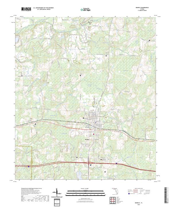
2024 Map of Bonifay
USGS Topo · Published 2024About this map
The Holmes County Courthouse serves as the focal point of Bonifay, a town deeply connected to the wetlands and piney woods of northern Florida. This landscape is defined by an intricate network of named bays and creeks, such as Meetinghouse Bay and Gum Creek, which historically dictated the pattern of early agriculture and industry. The presence of Hoover Mill near Wrights Creek points to a legacy of timber or grain processing that once sustained the local economy.
Find a feature on this map
150 named features on this map. Tap any name to fly to it.
Don’t see what you’re looking for? This feature index may not catch every label — zoom into the map to look around manually.
Map Details
Editions of this 2024 Bonifay Map
This is the sole edition of this map. No revisions or reprints were ever made.
Other maps of this area

1949 · Hinsons Cross Roads
USGS Topo · 1:24,000

1949 · Caryville
USGS Topo · 1:24,000

1950 · Hinsons Cross Roads
USGS Topo · 1:24,000

1950 · Caryville
USGS Topo · 1:24,000

1950 · Izagora
USGS Topo · 1:24,000

1950 · Chipley
USGS Topo · 1:24,000

1950 · Wausau
USGS Topo · 1:24,000

1950 · Esto
USGS Topo · 1:24,000

1950 · Poplar Head
USGS Topo · 1:24,000

1951 · Graceville
USGS Topo · 1:24,000