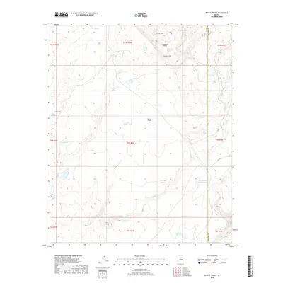
2018 Map of Bonito Prairie
USGS Topo · Published 2018About this map
Bonito Prairie defines the center of this high-plateau landscape along the boundary of Navajo and Apache counties. The terrain is a network of water management features and seasonal drainages, where ranchers and land managers utilized a system of tanks and springs to sustain livestock and wildlife. Significant geographic markers include the Sevenmile Rim and Sevenmile Canyon in the north, while the southern reaches are drained by Big Bonito Creek and Turkey Creek.
Find a feature on this map
45 named features on this map. Tap any name to fly to it.
Don’t see what you’re looking for? This feature index may not catch every label — zoom into the map to look around manually.
Map Details
Editions of this 2018 Bonito Prairie Map
This is the sole edition of this map. No revisions or reprints were ever made.
Other maps of this area

1954 · Clifton
USGS Topo · 1:250,000

1954 · Mesa
USGS Topo · 1:250,000

1957 · Mesa
USGS Topo · 1:250,000

1957 · Clifton
USGS Topo · 1:250,000

1958 · Clifton
USGS Topo · 1:250,000

1958 · Mesa
USGS Topo · 1:250,000

1960 · Mesa
USGS Topo · 1:250,000

1962 · Clifton
USGS Topo · 1:250,000

1964 · Mesa
USGS Topo · 1:250,000

1966 · Georges Butte
USGS Topo · 1:24,000