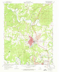
1958 Map of Bonne Terre
USGS Topo · Published 1973About this map
Bonne Terre serves as the industrial and population anchor of this mid-century survey, revealing a landscape deeply marked by the mining economy of St. Francois County. Large areas are dedicated to Tailings Ponds and numerous Mine Dumps, illustrating the massive scale of earth-moving required by the local lead industry. The Missouri Illinois Railroad provides the essential transport spine for the region, connecting the primary settlement to East Bonne Terre and Hoffman Junction.
Find a feature on this map
42 named features on this map. Tap any name to fly to it.
Don’t see what you’re looking for? This feature index may not catch every label — zoom into the map to look around manually.
Map Details
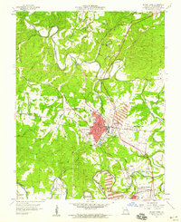
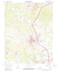
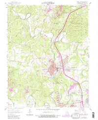
Editions of this 1958 Bonne Terre Map
4 editions found
Other maps of this area

1901 · De Soto
USGS Topo · 1:125,000

1904 · Farmington
USGS Topo · 1:62,500

1905 · Bonneterre
USGS Topo · 1:62,500

1906 · Farmington
USGS Topo · 1:62,500

1915 · Crystal City
USGS Topo · 1:62,500

1931 · De Soto SE
USGS Topo · 1:24,000

1937 · Tiff
USGS Topo · 1:24,000

1939 · Tiff
USGS Topo · 1:24,000

1949 · Saint Louis
USGS Topo · 1:250,000

1949 · Rolla
USGS Topo · 1:250,000