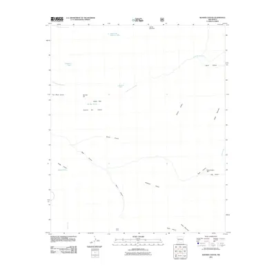
2011 Map of Bonner Canyon
USGS Topo · Published 2011About this map
Aspen Corral lies at the southern edge of this remote Grant County drainage, marking a point of human activity within a landscape of intersecting peaks and water-scarce draws. The terrain is defined by the significant passage of South Diamond Creek and Bonner Canyon, which collect runoff from surrounding heights like Spring Mountain and Aspen Mountain. For genealogists and local historians, the nomenclature of the area suggests early ranching and individual land claims, evidenced by features such as Me Own Hill, Rastus Flats, and Diamond Bar Canyon. The map reveals a reliance on isolated water improvements, including Alligator Tank and Me Own Tank, to sustain livestock and wildlife in the high desert. To the east, the canyon systems become increasingly complex, leading into the narrow Black Canyon Box and the steep terrain near Sheep Mountain.
Find a feature on this map
25 named features on this map. Tap any name to fly to it.
Don’t see what you’re looking for? This feature index may not catch every label — zoom into the map to look around manually.
Map Details
Editions of this 2011 Bonner Canyon Map
This is the sole edition of this map. No revisions or reprints were ever made.
Other maps of this area

1911 · Alum Mountain
USGS Topo · 1:125,000

1913 · Alum Mountain
USGS Topo · 1:125,000

1949 · Lookout Mountain
USGS Topo · 1:62,500

1954 · Tularosa
USGS Topo · 1:250,000

1954 · Clifton
USGS Topo · 1:250,000

1957 · Clifton
USGS Topo · 1:250,000

1958 · Clifton
USGS Topo · 1:250,000

1958 · Tularosa
USGS Topo · 1:250,000

1962 · Clifton
USGS Topo · 1:250,000

1963 · Bonner Canyon
USGS Topo · 1:24,000