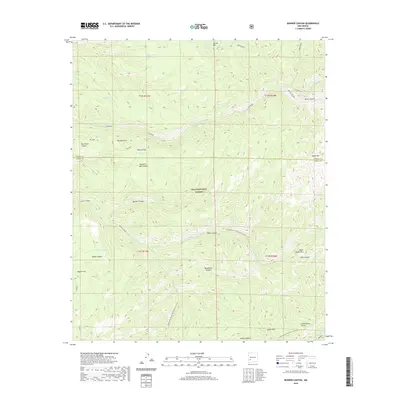
2020 Map of Bonner Canyon
USGS Topo · Published 2020About this map
Gila National Forest encompasses this high-elevation landscape in Grant County, where the Continental Divide National Scenic Trail winds through canyons and across ridges. The map highlights a series of complex water-management features for cattle and wildlife, such as Upper East Diamond Tank, Polecat Tank, and Me Own Tank, reflecting the ranching heritage of the Black Range. Named features like Me Own Hill and Rastus Flats suggest local family histories tied to specific land claims and grazing territories. To the south, the topography descends into Black Canyon Box and Falls Canyon, eventually reaching the headwaters of the Mimbres River near Aspen Mtn. This document serves as a detailed record of water sources like Spring Mountain Spring and Meason Tank in an arid environment where such points were essential for survival and commerce.
Find a feature on this map
40 named features on this map. Tap any name to fly to it.
Don’t see what you’re looking for? This feature index may not catch every label — zoom into the map to look around manually.
Map Details
Editions of this 2020 Bonner Canyon Map
This is the sole edition of this map. No revisions or reprints were ever made.
Other maps of this area

1911 · Alum Mountain
USGS Topo · 1:125,000

1913 · Alum Mountain
USGS Topo · 1:125,000

1949 · Lookout Mountain
USGS Topo · 1:62,500

1954 · Tularosa
USGS Topo · 1:250,000

1954 · Clifton
USGS Topo · 1:250,000

1957 · Clifton
USGS Topo · 1:250,000

1958 · Clifton
USGS Topo · 1:250,000

1958 · Tularosa
USGS Topo · 1:250,000

1962 · Clifton
USGS Topo · 1:250,000

1963 · Bonner Canyon
USGS Topo · 1:24,000