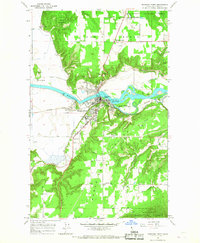
1965 Map of Bonners Ferry
USGS Topo · Published 1967About this map
The Kootenai River carves a deep valley through this northern Idaho landscape, where the town of Bonners Ferry serves as a critical junction for regional transport. In the mid-1960s, the area's layout reveals a complex infrastructure of rail and water management, including the Spokane International and Great Northern railroads crossing the river near O'Callaghans Island. The map shows a clear division between the river bottomlands and the elevated North Bench, where the County Airport and Threemile Corner are situated.
Find a feature on this map
38 named features on this map. Tap any name to fly to it.
Don’t see what you’re looking for? This feature index may not catch every label — zoom into the map to look around manually.
Map Details
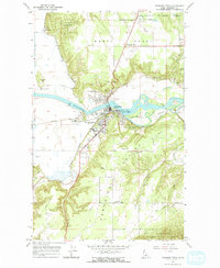
Editions of this 1965 Bonners Ferry Map
2 editions found
Other maps of this area

1911 · Priest Lake
USGS Topo · 1:250,000

1913 · Priest Lake
USGS Topo · 1:250,000

1958 · Sandpoint
USGS Topo · 1:250,000

1963 · Sandpoint
USGS Topo · 1:250,000

1965 · Meadow Creek
USGS Topo · 1:24,000

1965 · Farnham Peak
USGS Topo · 1:24,000

1965 · Twentymile Creek
USGS Topo · 1:24,000

1965 · Moravia
USGS Topo · 1:24,000

1965 · Ritz
USGS Topo · 1:24,000
1965 · Moyie Springs
USGS Topo · 1:24,000