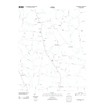
2013 Map of Bonnertown
USGS Topo · Published 2013About this map
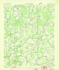
Bird Mill and the surrounding rural communities of Lawrence County sit along the border of Tennessee and Alabama, defined by a dense network of small watercourses. The landscape is dotted with long-standing local settlements such as Union Hill, Five Points, and Center Point, which are linked by an intricate grid of country roads like Lambs Ferry Rd and Moon Shine Rd.
Find a feature on this map
129 named features on this map. Tap any name to fly to it.
Don’t see what you’re looking for? This feature index may not catch every label — zoom into the map to look around manually.
Map Details
Editions of this 2013 Bonnertown Map
This is the sole edition of this map. No revisions or reprints were ever made.
Other maps of this area

1914 · Rogersville
USGS Topo · 1:48,000

1916 · Rogersville
USGS Topo · 1:62,500
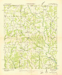
1936 · Union Hill
USGS Topo · 1:24,000
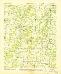
1936 · Lexington
USGS Topo · 1:24,000
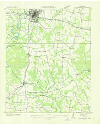
1936 · Lawrenceburg
USGS Topo · 1:24,000
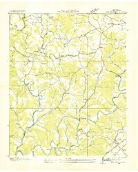
1936 · Long Branch
USGS Topo · 1:24,000
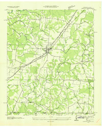
1936 · Loretto
USGS Topo · 1:24,000
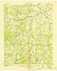
1936 · Bodenham
USGS Topo · 1:24,000
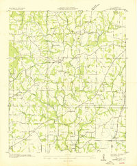
1936 · Center Hill
USGS Topo · 1:24,000
1936 · Appleton
USGS Topo · 1:24,000