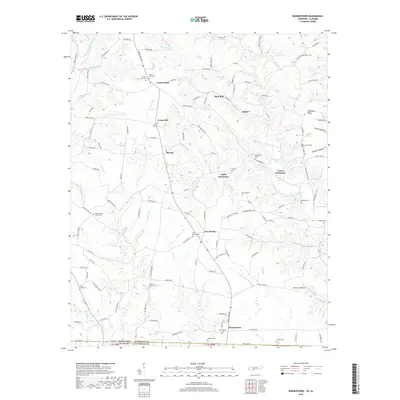
2019 Map of Bonnertown
USGS Topo · Published 2019About this map
Bonnertown sits at the southern edge of Lawrence County, anchored by the State Line Rd that divides Tennessee from Alabama. This landscape is defined by the winding drainages of Cottis Cr and Mockeson Br, which carve through the plateau to form distinctive terrain features like Steadman Ridge and Sawmill Hollow. The pattern of settlement is rural and dispersed, with community life centered around places like Center Point, Union Hill, and Ramah.
Find a feature on this map
136 named features on this map. Tap any name to fly to it.
Don’t see what you’re looking for? This feature index may not catch every label — zoom into the map to look around manually.
Map Details
Editions of this 2019 Bonnertown Map
This is the sole edition of this map. No revisions or reprints were ever made.
Other maps of this area

1914 · Rogersville
USGS Topo · 1:48,000

1916 · Rogersville
USGS Topo · 1:62,500

1936 · Union Hill
USGS Topo · 1:24,000

1936 · Lexington
USGS Topo · 1:24,000

1936 · Lawrenceburg
USGS Topo · 1:24,000

1936 · Long Branch
USGS Topo · 1:24,000

1936 · Loretto
USGS Topo · 1:24,000

1936 · Bodenham
USGS Topo · 1:24,000
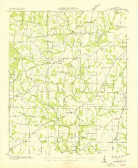
1936 · Center Hill
USGS Topo · 1:24,000

1936 · Appleton
USGS Topo · 1:24,000