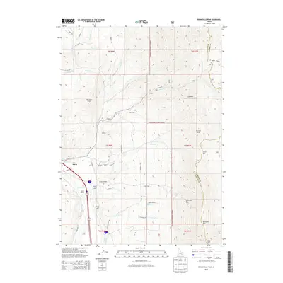
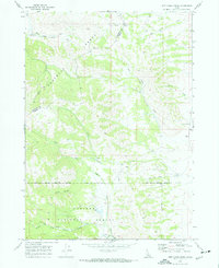
2013 Map of Bonneville Peak
USGS Topo · Published 2013About this map
Inkom serves as the gateway to the high-elevation terrain where the Pocatello Range and Portneuf Range meet. This survey captures the complex drainage systems of the Portneuf River and Marsh Creek as they converge in Marsh Valley. The landscape is defined by its significant relief, rising from the valley floor to the prominent summits of Bonneville Peak and Snow Peak. Within the Caribou National Forest, the map details the recreational infrastructure of the Pebble Creek Ski Area and various mountain passages including Inman Pass and Inkom Pass. Local history and genealogy interests are anchored by the Inkom Cemetery and a network of named roads like S Marsh Creek Rd and N Bonneville Rd that trace the base of the foothills, providing a clear record of residential and agricultural placement at this time.
Find a feature on this map
60 named features on this map. Tap any name to fly to it.
Don’t see what you’re looking for? This feature index may not catch every label — zoom into the map to look around manually.
Map Details
Editions of this 2013 Bonneville Peak Map
This is the sole edition of this map. No revisions or reprints were ever made.
Other maps of this area

1937 · Pocatello
USGS Topo · 1:48,000

1944 · Pocatello
USGS Topo · 1:62,500

1954 · Pocatello
USGS Topo · 1:250,000

1958 · Pocatello
USGS Topo · 1:250,000

1968 · Bear Camp Gulch
USGS Topo · 1:24,000
1968 · South Putnam Mtn
USGS Topo · 1:24,000
1968 · Bonneville Peak
USGS Topo · 1:24,000
1968 · Haystack Mtn
USGS Topo · 1:24,000

1968 · Mc Cammon
USGS Topo · 1:24,000
1968 · Jeff Cabin Creek
USGS Topo · 1:24,000