
2017 Map of Bonnie Reservoir
USGS Topo · Published 2017About this map
Thunder Basin National Grassland dominates the southwestern corner of this landscape along the border of Campbell and Crook Counties. The terrain is defined by a network of intermittent watercourses that drain the High Plains, including the winding Horse Cr and the drainage of McKim Draw. Water management is a primary feature of this arid region, evidenced by the presence of Bonnie Reservoir, Edgerton Reservoir, and Wenande Reservoir Number 1. Prominent landmarks like Monument Hill rise above the surrounding flats, while named roads such as Riesland Rd and Rocky Point Rd provide the only major conduits through the grazing lands. This survey reflects the ranching-driven geography of northeast Wyoming, where land use is dictated by the availability of water at features like Mitten Prong and Sabatka Cr.
Find a feature on this map
24 named features on this map. Tap any name to fly to it.
Don’t see what you’re looking for? This feature index may not catch every label — zoom into the map to look around manually.
Map Details
Editions of this 2017 Bonnie Reservoir Map
This is the sole edition of this map. No revisions or reprints were ever made.
Other maps of this area

1905 · Devils Tower
USGS Topo · 1:125,000

1954 · Gillette
USGS Topo · 1:250,000

1955 · Gillette
USGS Topo · 1:250,000

1957 · Oshoto
USGS Topo · 1:62,500

1957 · Cedar Ridge
USGS Topo · 1:62,500

1958 · Gillette
USGS Topo · 1:250,000

1962 · Gillette
USGS Topo · 1:250,000
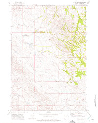
1972 · Mitten Butte
USGS Topo · 1:24,000
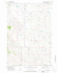
1972 · Bonnie Reservoir
USGS Topo · 1:24,000
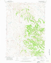
1972 · Bowman Hill
USGS Topo · 1:24,000