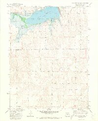
1971 Map of Bonny Reservoir South
USGS Topo · Published 1973About this map
Bonny Reservoir dominates the northern landscape of this 1971 survey, serving as a significant water management and recreational hub on the high plains of eastern Colorado. Created by the Bonny Dam, the reservoir is fed by the South Fork Republican River and Landsman Creek, illustrating the extensive irrigation efforts of the Missouri River Basin development program. The surrounding Bonny State Recreation Area is well-detailed, showing the early layout of a Campground, several Picnic Areas, and Boat Ramps that supported local outdoor tourism.
Find a feature on this map
17 named features on this map. Tap any name to fly to it.
Don’t see what you’re looking for? This feature index may not catch every label — zoom into the map to look around manually.
Map Details
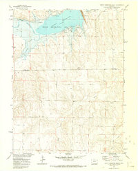
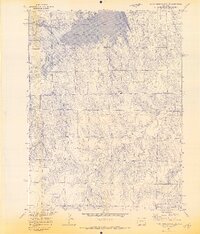
Editions of this 1971 Bonny Reservoir South Map
3 editions found
Other maps of this area

1950 · Bonny Reservoir
USGS Topo · 1:62,500

1954 · Limon
USGS Topo · 1:250,000

1957 · Limon
USGS Topo · 1:250,000

1958 · Limon
USGS Topo · 1:250,000

1968 · Bonny Reservoir North
USGS Topo · 1:24,000

1968 · Idalia
USGS Topo · 1:24,000

1969 · Kanorado NE
USGS Topo · 1:24,000

1969 · Idalia SE
USGS Topo · 1:24,000

1969 · Kanorado NW
USGS Topo · 1:24,000
1969 · Burlington NE
USGS Topo · 1:24,000