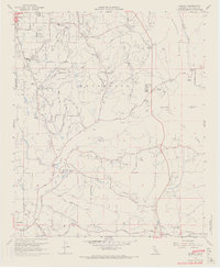
1968 Map of Bonsall
USGS Topo · Published 1970About this map
Fallbrook anchors the northern reaches of this coastal inland landscape, where the agricultural legacy of North County San Diego is etched into the terrain of Monserate and the San Luis Rey River valley. During the late 1960s, this area transitioned from traditional ranching toward residential and recreational development, evidenced by the presence of the Pala Mesa Golf Club and the emerging San Luis Rey Heights. The map traces the historical path of Stagecoach Road and Mission Road, highlighting how transit patterns evolved from early trails to modern thoroughfares.
Find a feature on this map
38 named features on this map. Tap any name to fly to it.
Don’t see what you’re looking for? This feature index may not catch every label — zoom into the map to look around manually.
Map Details
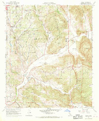
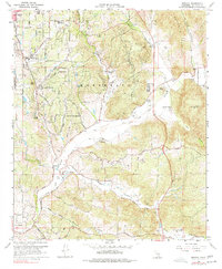
Editions of this 1968 Bonsall Map
3 editions found
Other maps of this area

1893 · Oceanside
USGS Topo · 1:62,500

1893 · Escondido
USGS Topo · 1:62,500

1898 · Oceanside
USGS Topo · 1:62,500

1901 · Escondido
USGS Topo · 1:62,500

1901 · Oceanside
USGS Topo · 1:62,500

1901 · San Luis Rey
USGS Topo · 1:125,000

1904 · Southern California Sheet No. 2
USGS Topo · 1:250,000

1941 · Margarita Peak
USGS Topo · 1:62,500

1942 · Margarita Peak
USGS Topo · 1:62,500

1942 · Temecula
USGS Topo · 1:62,500