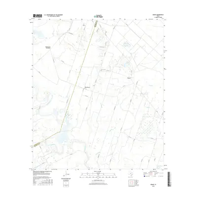
2016 Map of Bonus
USGS Topo · Published 2016About this map
The Colorado River defines the western edge of this coastal prairie landscape, where the border of Colorado County and Wharton County meets among a network of slow-moving waterways. Small agricultural communities such as Bonus, Elm Grove, and Boedecker Junction anchor a territory crisscrossed by farm-to-market roads and county lanes. The area's history is preserved in several small burial grounds, including Union Hill Cem, Frazer Cem, and Elm Grove Cem, which serve as important touchstones for local genealogical research.
Find a feature on this map
46 named features on this map. Tap any name to fly to it.
Don’t see what you’re looking for? This feature index may not catch every label — zoom into the map to look around manually.
Map Details
Editions of this 2016 Bonus Map
This is the sole edition of this map. No revisions or reprints were ever made.
Other maps of this area

1952 · Egypt
USGS Topo · 1:24,000

1953 · Glen Flora
USGS Topo · 1:24,000

1953 · Seguin
USGS Topo · 1:250,000

1956 · Wallis
USGS Topo · 1:62,500

1957 · Eagle Lake
USGS Topo · 1:62,500

1957 · Altair
USGS Topo · 1:24,000

1958 · Seguin
USGS Topo · 1:250,000

1959 · Garwood
USGS Topo · 1:24,000

1959 · Bonus
USGS Topo · 1:24,000

1960 · Lissie
USGS Topo · 1:24,000