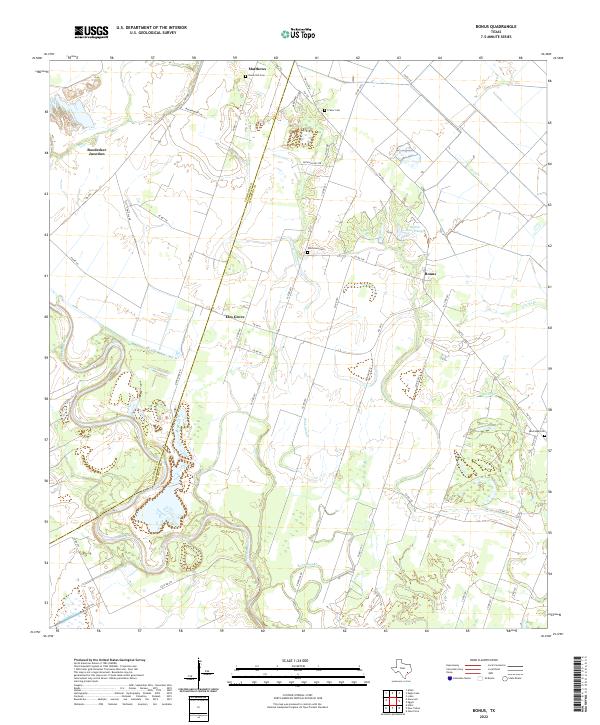
2022 Map of Bonus
USGS Topo · Published 2022About this map
The Colorado River meanders along the western edge of this landscape, defining the border between Colorado Co and Wharton Co. The terrain is characterized by the low-lying drainage patterns of Robb Slough and various smaller tributaries like Peach Creek and Clarks Branch. The settlement pattern centers on the agricultural communities of Bonus, Matthews, and Elm Grove, which are linked by a dense network of farm-to-market roads and county routes. Historically significant family and community landmarks are scattered throughout the quadrangle, including the Union Hill Cemetery, Frazar Cemetery, and Sandridge Cemetery. The map also captures the distinct rural junction at Boedecker Junction, showing the intersection of local routes that supported the region's transport and farming economy. Water management is evident in the presence of local features like Rockin Ranch Lake, reflecting the intersection of natural hydrology and land use in this coastal plain environment.
Find a feature on this map
48 named features on this map. Tap any name to fly to it.
Don’t see what you’re looking for? This feature index may not catch every label — zoom into the map to look around manually.
Map Details
Editions of this 2022 Bonus Map
This is the sole edition of this map. No revisions or reprints were ever made.
Other maps of this area

1952 · Egypt
USGS Topo · 1:24,000

1953 · Glen Flora
USGS Topo · 1:24,000

1953 · Seguin
USGS Topo · 1:250,000

1956 · Wallis
USGS Topo · 1:62,500

1957 · Eagle Lake
USGS Topo · 1:62,500

1957 · Altair
USGS Topo · 1:24,000

1958 · Seguin
USGS Topo · 1:250,000

1959 · Garwood
USGS Topo · 1:24,000

1959 · Bonus
USGS Topo · 1:24,000

1960 · Lissie
USGS Topo · 1:24,000