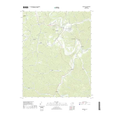
2019 Map of Booneville
USGS Topo · Published 2019About this map
Booneville serves as the focal point of this Owsley County landscape, situated along the winding course of the South Fork Kentucky River. The town is surrounded by numerous small settlements and family-named hollows that speak to the region's deep-rooted community history. Settlements like Levi to the north and Southfork to the south are connected by a network of rural roads such as Winklers Branch Rd and Hilltop Rd.
Find a feature on this map
81 named features on this map. Tap any name to fly to it.
Don’t see what you’re looking for? This feature index may not catch every label — zoom into the map to look around manually.
Map Details
Editions of this 2019 Booneville Map
This is the sole edition of this map. No revisions or reprints were ever made.
Other maps of this area

1891 · Manchester
USGS Topo · 1:125,000

1892 · Beattyville
USGS Topo · 1:125,000

1952 · Tallega
USGS Topo · 1:24,000

1952 · Beattyville
USGS Topo · 1:24,000

1952 · Heidelberg
USGS Topo · 1:24,000

1953 · Oneida
USGS Topo · 1:24,000

1953 · Cowcreek
USGS Topo · 1:24,000

1953 · Mistletoe
USGS Topo · 1:24,000

1953 · Booneville
USGS Topo · 1:24,000

1953 · Sturgeon
USGS Topo · 1:24,000